


|
7/13/2026
4:53:13 PM |
||||||||||||||||||||||||||||||||||

|
||||||||||||||||||||||||||||||||||
| Overcast | ||||||||||||||||||||||||||||||||||
| 92.0°F | ||||||||||||||||||||||||||||||||||
| Hot | ||||||||||||||||||||||||||||||||||
| Feels like: 92.7°F | ||||||||||||||||||||||||||||||||||
|
||||||||||||||||||||||||||||||||||
|
||||||||||||||||||||||||||||||||||


U.S. Weather

NWS Forecast

NWS Storm Prediction Center - Convective Outlook

Continental U.S.
|
|
Alaska
|
Hawaii
|
GOES-East - Western Atlantic / Gulf of Mexico / Continental U.S.
|
|
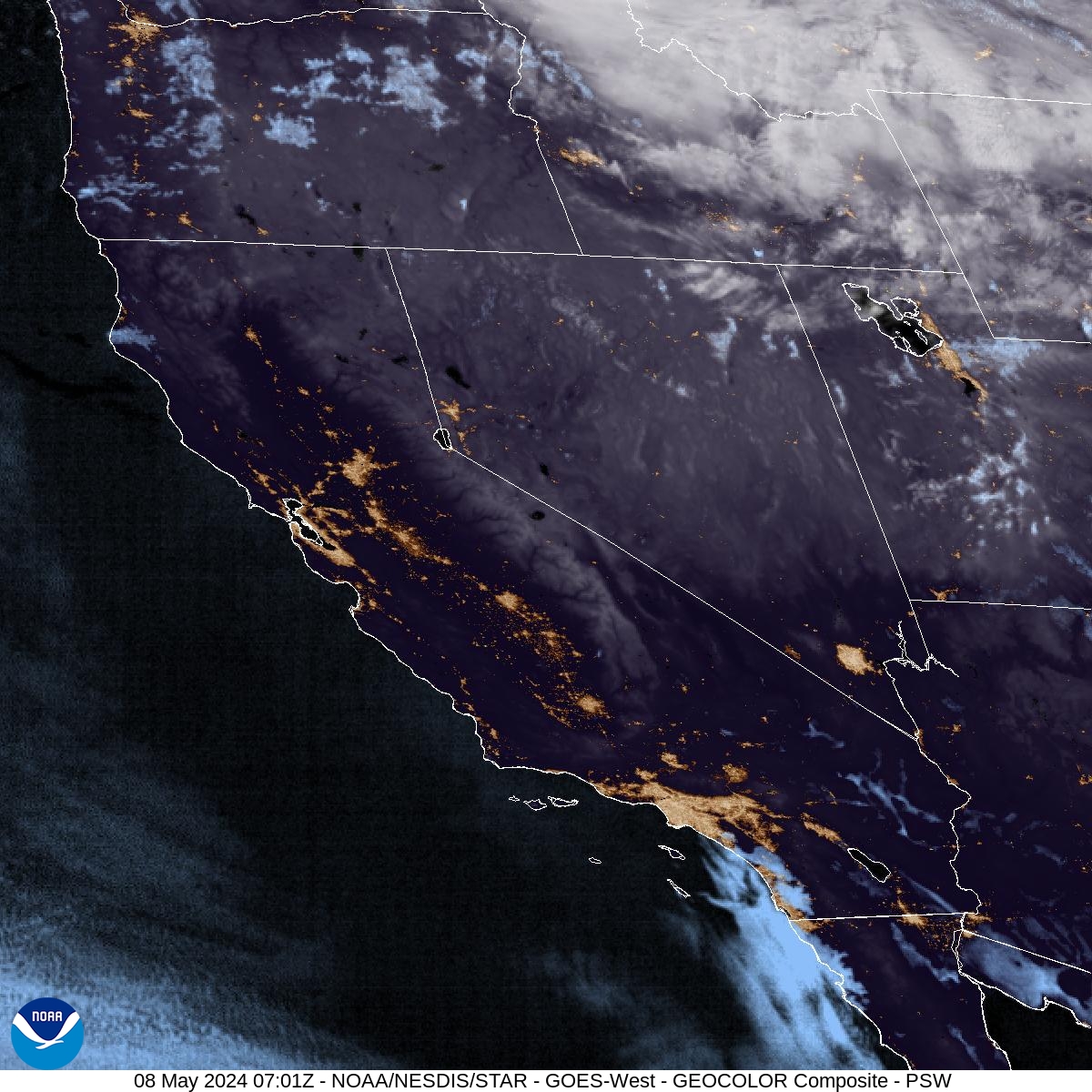
GOES-West - Eastern Pacific / West Coast U.S.
|
|
GOES-West - Alaska
|
GOES-West - Hawaii
|
National Digital Forecast Database - Graphical Forecasts - Web Map
Temperature(°F)
|
Relative Humidity (%)
|
Probability of Precipitation (%) - next 12 hours
|
Continental U.S.
|
Alaska
|
Hawaii
|
Weather and radar maps: NOAA - National Weather Service | NOAA / NWS - Storm Prediction Center
GOES satellite imagery: NOAA / NESDIS / STAR
Lightning maps courtesy of Saratoga Weather and Blitzortung.org, a hobbyist lightning detection network.
