


|
7/12/2026
11:51:36 AM |
||||||||||||||||||||||||||||||||||

|
||||||||||||||||||||||||||||||||||
| Overcast | ||||||||||||||||||||||||||||||||||
| 87.3°F | ||||||||||||||||||||||||||||||||||
| Warm | ||||||||||||||||||||||||||||||||||
| Feels like: 87.6°F | ||||||||||||||||||||||||||||||||||
|
||||||||||||||||||||||||||||||||||
|
||||||||||||||||||||||||||||||||||


National Weather Service Alerts
There are no active National Weather Service alerts for Tulare County.
National Weather Service
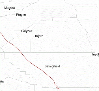
San Joaquin Valley / Hanford, CA
San Joaquin Valley / Hanford, CA
| Updated: Sunday, Jul 12 2026 - 11:48:15 AM PDT | |||||||||||||

|
|
||||||||||||
