Fire
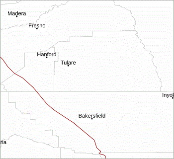
Park Place - Exeter, California

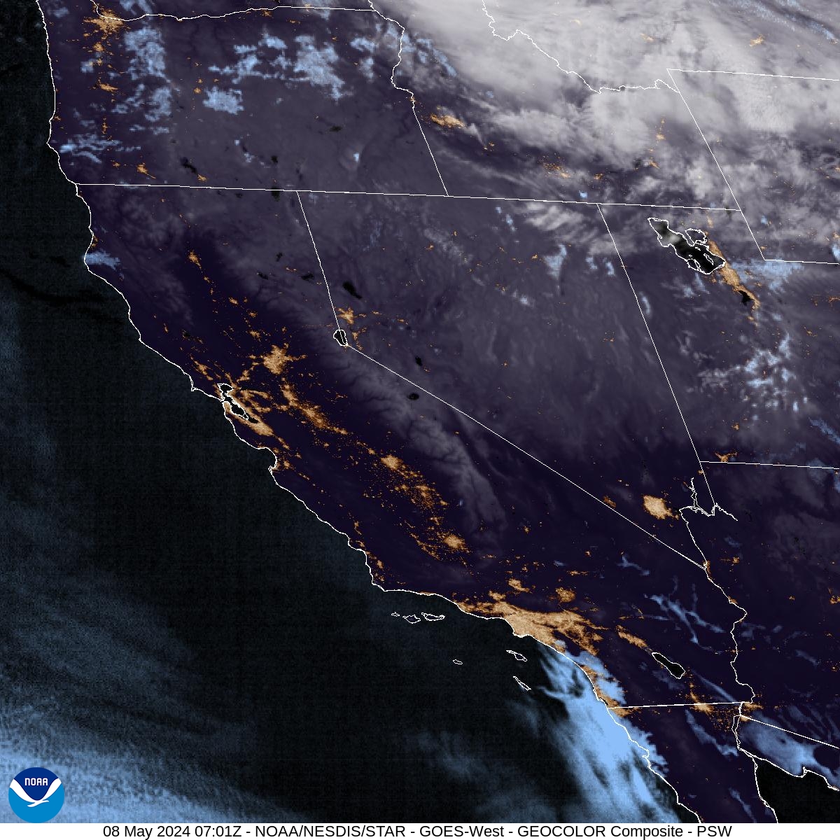
Central and Southern California

National Weather Service - Fire Weather Forecast
CAZ580 - San Joaquin Valley
FNUS56 KHNX 211002
FWFHNX
Fire Weather Planning Forecast for Interior Central California
National Weather Service San Joaquin Valley - Hanford CA
302 AM PDT Tue Mar 21 2023
DISCUSSION...
Precipitation overtakes the region by sunrise this morning,
including snow showers in the mountains. Breezy southwest winds
expected to accompany this system. Precipitation persists through
today into Wednesday before we start drying out Thursday. Snow
showers will lingering Thursday into the weekend, though notably
weaker. There will be an uptick in snowfall for the weekend with a
weak system passing by. The active weather pattern persists as we
continue to monitor another system looming at the start of next
week.
CAZ580-212330-
San Joaquin Valley-
302 AM PDT Tue Mar 21 2023
TODAY...
Sky/weather.........Mostly cloudy. Rain in the morning. Slight
chance of thunderstorms. Rain showers in the
afternoon.
Max Temperature.....54-64.
24 hr trend......4 degrees down.
Min Humidity........53-63 percent.
24 hr trend......8 percent up.
20-Foot Winds.......South 7 to 17 mph.
LAL.................1 until 1100, then 3.
Ventilation.........Poor to excellent.
Mixing height.......400-7600 ft AGL.
Transport Winds.....South 25 to 30 mph.
Chc Wetting Rain....50 percent.
TONIGHT...
Sky/weather.........Mostly cloudy. Rain showers likely until 2400.
Slight chance of thunderstorms. Rain likely
after 2400.
Min Temperature.....39-46.
24 hr trend......4 degrees down.
Max Humidity........82-92 percent.
24 hr trend......4 percent down.
20-Foot Winds.......Southeast 7 to 12 mph.
LAL.................3 until 2300, then 2 until 0500, then 1.
Chc Wetting Rain....40 percent.
WEDNESDAY...
Sky/weather.........Mostly cloudy. Rain likely, then chance of rain
late in the afternoon.
Max Temperature.....51-61.
24 hr trend......2 degrees down.
Min Humidity........60-70 percent.
24 hr trend......10 percent up.
20-Foot Winds.......Southeast 7 to 12 mph.
LAL.................1.
Ventilation.........Poor to very good.
Mixing height.......400-5900 ft AGL.
Transport Winds.....South 15 to 20 mph.
Chc Wetting Rain....50 percent.
EXTENDED...
THURSDAY...
Mostly cloudy.
Max Temperature.....52-62.
24 hr trend......3 degrees up.
Min Humidity........59-69 percent.
24 hr trend......12 percent down.
20-Foot Winds.......Northwest 3 to 11 mph.
FRIDAY...
Partly cloudy.
Max Temperature.....51-60.
24 hr trend......1 degree down.
Min Humidity........55-65 percent.
24 hr trend......11 percent down.
20-Foot Winds.......Northwest 4 to 11 mph.
SATURDAY...
Partly cloudy.
Max Temperature.....49-59.
24 hr trend......1 degree down.
Min Humidity........45-55 percent.
24 hr trend......4 percent down.
20-Foot Winds.......Northwest 6 to 14 mph.
CAZ591 - Southern Sierra Foothills
FNUS56 KHNX 211002
FWFHNX
Fire Weather Planning Forecast for Interior Central California
National Weather Service San Joaquin Valley - Hanford CA
302 AM PDT Tue Mar 21 2023
DISCUSSION...
Precipitation overtakes the region by sunrise this morning,
including snow showers in the mountains. Breezy southwest winds
expected to accompany this system. Precipitation persists through
today into Wednesday before we start drying out Thursday. Snow
showers will lingering Thursday into the weekend, though notably
weaker. There will be an uptick in snowfall for the weekend with a
weak system passing by. The active weather pattern persists as we
continue to monitor another system looming at the start of next
week.
CAZ591-212330-
Southern Sierra Foothills-
302 AM PDT Tue Mar 21 2023
TODAY...
Sky/weather.........Mostly cloudy. Rain and slight chance of
thunderstorms in the morning, then rain showers
and chance of thunderstorms in the afternoon.
Max Temperature.....46-56, except around 40 above 6000 feet.
24 hr trend......Little change.
Min Humidity........67-77 percent.
24 hr trend......3 percent down.
Wind - 20 Foot (10 Minute Average)
Slopes...........Downslope around 15 mph becoming
upslope/upvalley around 12 mph in the
afternoon.
Ridges...........Southeast around 16 mph becoming south around
13 mph in the afternoon.
LAL.................1 until 1100, then 3.
Ventilation.........Poor to very good.
Mixing height.......400-5900 ft AGL.
Transport Winds.....South around 20 mph.
Chc Wetting Rain....70 percent.
TONIGHT...
Sky/weather.........Mostly cloudy. Rain showers and chance of
thunderstorms until 2400, then rain and slight
chance of thunderstorms.
Min Temperature.....32-42, except around 25 above 6000 feet.
24 hr trend......6 degrees down.
Max Humidity........87-97 percent, except 100 percent above 6000
feet.
24 hr trend......Little change.
Wind - 20 Foot (10 Minute Average)
Slopes...........Downslope 4 to 9 mph.
Ridges...........Southeast 4 to 9 mph.
LAL.................3 until 2300, then 2 until 0500, then 1.
Chc Wetting Rain....70 percent.
WEDNESDAY...
Sky/weather.........Mostly cloudy. Snow in the morning. Rain.
Max Temperature.....42-52, except around 36 above 6000 feet.
24 hr trend......4 degrees down.
Min Humidity........73-83 percent, except 85 percent above 6000
feet.
24 hr trend......10 percent up.
Wind - 20 Foot (10 Minute Average)
Slopes...........Downslope 5 to 10 mph.
Ridges...........Southeast 5 to 10 mph.
LAL.................1.
Ventilation.........Poor to fair.
Mixing height.......400-3600 ft AGL.
Transport Winds.....South 10 to 15 mph.
Chc Wetting Rain....80 percent.
EXTENDED...
THURSDAY...
Mostly cloudy.
Slight chance of rain.
Max Temperature.....44-54, except around 38 above 6000 feet.
24 hr trend......1 degree down.
Min Humidity........73-83 percent, except 85 percent above 6000
feet.
24 hr trend......2 percent up.
20-Foot Winds...
Slopes...........Upslope/upvalley 3 to 7 mph.
Ridges...........West 3 to 7 mph.
FRIDAY...
Mostly cloudy.
Max Temperature.....43-53, except around 37 above 6000 feet.
24 hr trend......1 degree down.
Min Humidity........67-77 percent.
24 hr trend......8 percent down.
20-Foot Winds...
Slopes...........Upslope/upvalley 3 to 8 mph.
Ridges...........West 3 to 8 mph.
SATURDAY...
Mostly cloudy.
Slight chance of rain.
Max Temperature.....40-50, except around 34 above 6000 feet.
24 hr trend......3 degrees down.
Min Humidity........61-71 percent, except 73 percent above 6000
feet.
24 hr trend......7 percent down, except 2 percent down above
6000 feet.
20-Foot Winds...
Slopes...........Upslope/upvalley 3 to 10 mph.
Ridges...........West 3 to 9 mph.
CAZ594 - Sequoia Kings
FNUS56 KHNX 211002
FWFHNX
Fire Weather Planning Forecast for Interior Central California
National Weather Service San Joaquin Valley - Hanford CA
302 AM PDT Tue Mar 21 2023
DISCUSSION...
Precipitation overtakes the region by sunrise this morning,
including snow showers in the mountains. Breezy southwest winds
expected to accompany this system. Precipitation persists through
today into Wednesday before we start drying out Thursday. Snow
showers will lingering Thursday into the weekend, though notably
weaker. There will be an uptick in snowfall for the weekend with a
weak system passing by. The active weather pattern persists as we
continue to monitor another system looming at the start of next
week.
CAZ594-212330-
Sequoia Kings-
302 AM PDT Tue Mar 21 2023
TODAY...
Sky/weather.........Mostly cloudy. Snow and rain in the morning,
then snow showers, rain showers and slight
chance of thunderstorms late in the morning.
Max Temperature.....41-51, except 25-35 above 6000 feet.
24 hr trend......2 degrees down.
Min Humidity........67-77 percent.
24 hr trend......Little change.
Wind - 20 Foot (10 Minute Average)
Slopes...........Upslope/upvalley 9 to 19 mph.
Ridges...........Southwest 14 to 24 mph.
LAL.................1 until 1100, then 2 until 1700, then 3.
Ventilation.........Poor to excellent.
Mixing height.......400-4700 ft AGL.
Transport Winds.....South around 25 mph.
Chc Wetting Rain....90 percent.
TONIGHT...
Sky/weather.........Mostly cloudy. Snow showers and slight chance
of thunderstorms until 2400, then snow.
Min Temperature.....24-34, except 9-19 above 6000 feet.
24 hr trend......4 degrees down.
Max Humidity........84-94 percent.
24 hr trend......4 percent up.
Wind - 20 Foot (10 Minute Average)
Slopes...........Upslope/upvalley 9 to 14 mph.
Ridges...........Southwest 8 to 18 mph.
LAL.................3 until 2300, then 1.
Chc Wetting Rain....80 percent.
WEDNESDAY...
Sky/weather.........Mostly cloudy. Snow. Rain early in the
afternoon, then chance of snow and rain late in
the afternoon.
Max Temperature.....37-47, except 22-32 above 6000 feet.
24 hr trend......1 degree down.
Min Humidity........65-75 percent.
24 hr trend......3 percent up.
Wind - 20 Foot (10 Minute Average)
Slopes...........Upslope/upvalley 6 to 11 mph.
Ridges...........Southwest 9 to 14 mph.
LAL.................1.
Ventilation.........Poor to good.
Mixing height.......400-3700 ft AGL.
Transport Winds.....Southwest around 15 mph.
Chc Wetting Rain....80 percent.
EXTENDED...
THURSDAY...
Mostly cloudy.
Slight chance of snow.
Max Temperature.....38-48, except 24-34 above 6000 feet.
24 hr trend......1 degree up.
Min Humidity........64-74 percent.
24 hr trend......5 percent up, except 10 percent down above
6000
feet.
20-Foot Winds...
Slopes...........Upslope/upvalley 6 to 11 mph.
Ridges...........West 7 to 19 mph.
FRIDAY...
Partly cloudy.
Max Temperature.....39-49, except 24-34 above 6000 feet.
24 hr trend......3 degrees down.
Min Humidity........61-71 percent.
24 hr trend......10 percent down, except 18 percent down above
6000 feet.
20-Foot Winds...
Slopes...........Upslope/upvalley 7 to 19 mph.
Ridges...........West 17 to 29 mph.
SATURDAY...
Mostly cloudy.
Chance of snow.
Max Temperature.....35-45, except 18-28 above 6000 feet.
24 hr trend......1 degree down.
Min Humidity........62-72 percent, except 50-60 percent above
6000
feet.
24 hr trend......Little change, except 9 percent up above
6000
feet.
20-Foot Winds...
Slopes...........Upslope/upvalley 5 to 15 mph.
Ridges...........West 6 to 18 mph.
Fire maps and data: National Interagency Fire Center, U.S. Forest Service - Wildland Fire Assesment System, NOAA - National Weather Service and NOAA NWS - Storm Prediction Center