

|
7/12/2026
11:56:36 AM |
||||||||||||||||||||||||||||||||||

|
||||||||||||||||||||||||||||||||||
| Overcast | ||||||||||||||||||||||||||||||||||
| 87.0°F | ||||||||||||||||||||||||||||||||||
| Warm | ||||||||||||||||||||||||||||||||||
| Feels like: 87.2°F | ||||||||||||||||||||||||||||||||||
|
||||||||||||||||||||||||||||||||||
|
||||||||||||||||||||||||||||||||||


Weather Stories

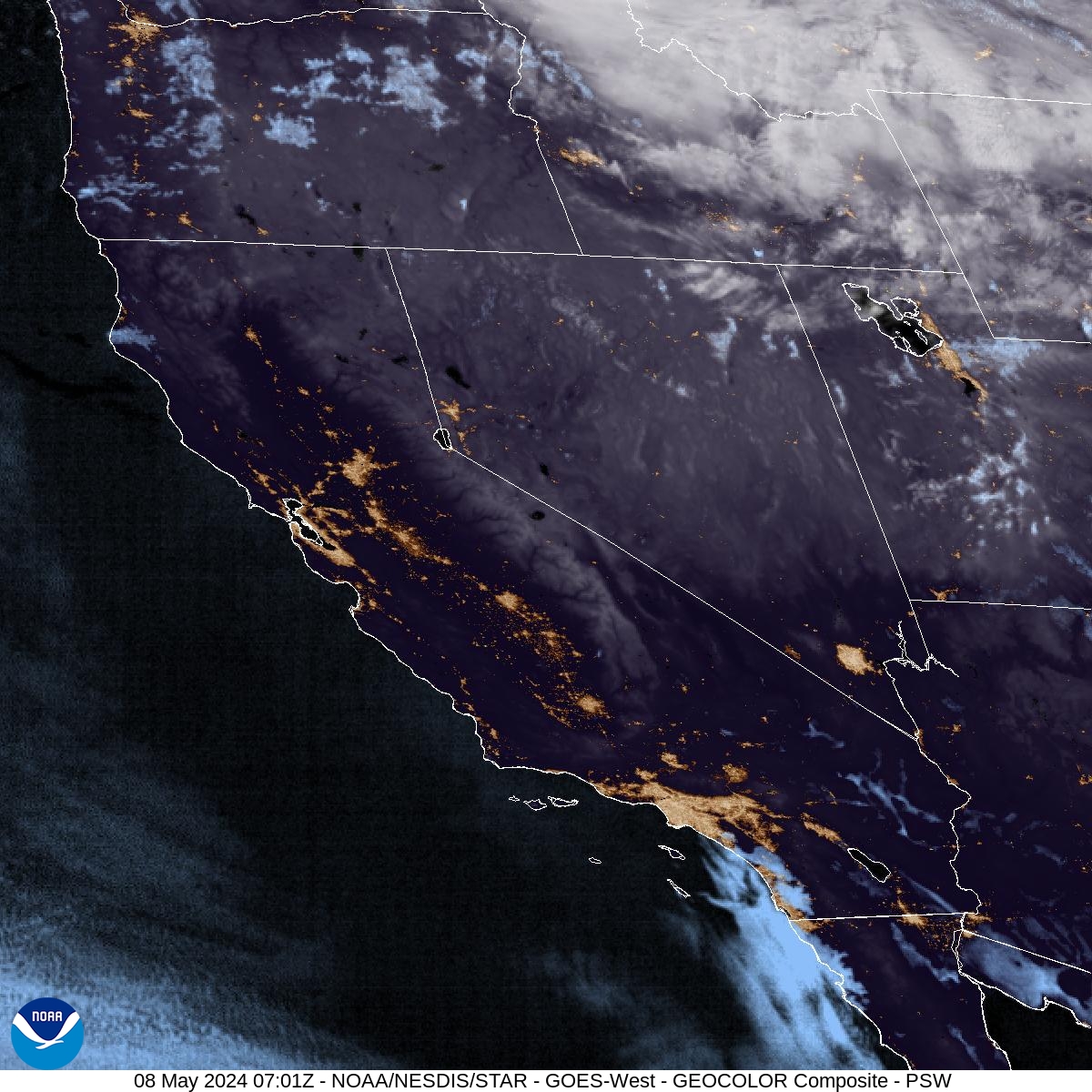
Although most of what is in on radar is not hitting the ground, because of very dry air at the surface. Enough rain to wet the pavement will occur, especially across the higher elevations of southwestern Kern and the Coastal Range.

Sunday, July 12, 2026 @ 3:50 AM PDT - High pressure over California will continue to bring above average temperatures this week. Triple digit heat persists over much of the lower elevations. Reduce time outside and take steps to reduce risk of heat illness if outdoors!

Sunday, July 12, 2026 @ 3:55 AM PDT - Monsoonal moisture arrives into central California this week and brings up to a 10 percent thunderstorms along the Sierra Nevada crest today. The chances increase on Monday to 20-30 percent, and a 10-20 percent chance exists for the Sierra Nevada foothills and Kern County desert. We also cannot rule out sprinkles or light showers in the San Joaquin Valley on Monday. More storms are also possible Tuesday and through the end of the week, although the best chances will be over the higher elevations of the Sierra Nevada. A slight chance of thunderstorms returns to the Mojave Desert Thursday until Saturday.
