About
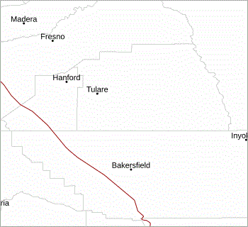
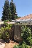
This website uses data from personal weather stations (PWS) located in the Park Place residential neighborhood, in the city of Exeter, California. The station hardware is privately owned and operated. They are not affiliated with the City of Exeter. They are also not official reporting stations for the National Weather Service or any other government entity or business. The nearest official weather station is located at the Visalia Municipal Airport (KVIS), about 14 miles away. METAR data from KVIS are updated online 1-4 times per hour.
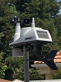
The primary weather station hardware is a Davis Instruments Vantage Vue. This weather station has been in operation at this location since July 2017.
The Vantage Vue is a compact solar-powered weather station comprised of thermo-hygrometer sensors housed inside a passive radiation shield, an anemometer, and a rain gauge.
Every 2.5 seconds the station wirelessly transmits current temperature, humidity, wind, and rain data to an indoor console, about 30 feet away. The indoor console has a wired USB connection to a desktop computer running Microsoft Windows 11.
|

|
|
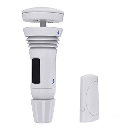
The secondary weather station, a WeatherFlow Tempest, has been in operation at this location since July 2020. The Tempest is a new generation weather monitoring system which is fully solar powered and features no moving parts. While the Vantage Vue is considered the primary station for measuring temperature, humidity, wind and rain, the WeatherFlow Tempest has additional sensors that the Vantage Vue does not have. These additional sensors on the Tempest are capable of measuring ambient light (illuminance/lux), ultraviolet radiation (UV index), solar radiation, and detection of lightning strikes.

|
|
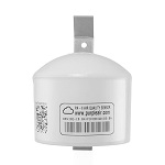
In addition to the two weather stations, a PurpleAir PA-II air quality station is also installed at this location. The dual sensors on this device measure particulate matter (PM) type air pollution. The air quality station has been in operation at this location since January 2020.

|
|
Weather Display software processes all raw station data, which are then uploaded via a dedicated FTP connection to this website. This website is updated approximately every 5 seconds with the latest PWS data.
Weather Display is also used to transmit station data to numerous organizations including Citizen Weather Observer Program (CWOP), PWS Weather and Weather Underground. The data upload frequency to these and other websites varies between once every 5 seconds to once every 10 minutes.
CWOP in particular is instrumental in sharing PWS data with the rest of the world. CWOP servers continuously transmit PWS data to FINDU, a database for archiving weather, geographic location, telemetry, and message data. At frequent intervals NOAA automatically fetches the latest PWS data from FINDU and ingests it into the MADIS database where all data are quality controlled for accuracy and spatial consistency, and then merged with data from over 25,000 Automated Surface Observing System (ASOS) locations.
MADIS data are disseminated to other NOAA agencies, including National Weather Service offices throughout the United States, which use the data for weather forecasting. Many academic, science, and government organizations around the world use MADIS data for education and research purposes.

|
||

|

|

|

|

|

|
Besides my own personal enjoyment of creating and maintaining it, this website was made for the benefit of the residents of Exeter, California and surrounding areas. This website is designed to provide users with quick and easy access to real-time weather information, primarily for the Exeter area, but also for the southeastern San Joaquin Valley and nearby Tulare County foothills and mountains.
Here is some technical information about this website, if you happen to be into that sort of thing...
This website is based in part on an original design by CarterLake.org. Over the years Kevin Reed at TNETweather.com and Ken True at Saratoga-Weather.org further enhanced the Carter Lake template and scripts. Ken has made available a PHP/AJAX based weather website template, some elements which have been incorporated on various pages here.
Additionally, Ken shares numerous other PHP scripts on his Saratoga Weather website, all which are free to anyone who wants to use them. Some of these scripts are featured on this website, including the dropdown menu, METAR reports, real-time PurpleAir sensor information, earthquake activity and daily weather extremes. My work on this website has benefitted greatly from all his creative effort and willingness to share these scripts!
I also want to want to thank the following individuals for their willingness to share some of their PHP scripts:
- Jerry Wilkins at Southeast Lincoln Weather
- Steve Fitzgerald at Tyler Texas Weather
- Murry Conarroe at Wildwood Weather
If you are curious as to how this weather station website project has evolved over the years take a peek at how it looked way back in April 2003, when I first set it up! This website was previously known as Orchard Ridge Weather, when the weather station was located in a residential area of Porterville, California. This is how the website looked back then. In June 2017 we moved to Exeter, California where the weather station was setup and this website was renamed to Park Place Weather.
Incorporated in the year 1911 the city of Exeter, California presently has a population of approximately 10,500. Exeter is a city in Tulare County which is located in Central California, more specifically, the southeastern portion of the San Joaquin Valley.
The SJV has been called "the food basket of the world" for the great diversity of its produce. It is truly one of the most agriculturally-rich regions in the world. The area is full of commercial citrus (predominately varieties of orange and mandarin), grapes, peaches, almonds, pistachios, walnuts, corn, and numerous other crops. The livestock and dairy industy also dominates in Tulare County, including production of milk and milk products.
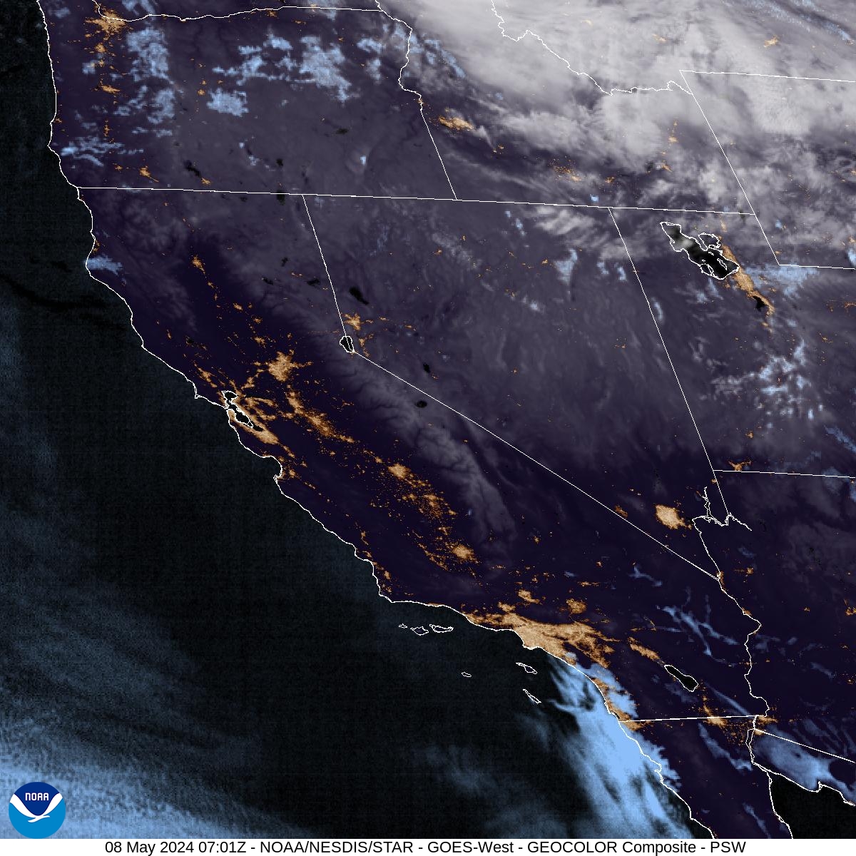
Exeter is at an elevation of about 400 feet above sea level. It is situated against the foothills of the Sierra Nevada Mountains, and close driving distance to Sequoia and Kings Canyon National Parks. Exeter is located along California State Highway 65. The city is approximately 180 miles north of Los Angeles and 150 miles east of the Pacific Ocean coast.
City of Exeter History of Exeter


