


|
5/15/2024
5:48:50 AM |
||||||||||||||||||||||||||||||||||

|
||||||||||||||||||||||||||||||||||
| Sunny | ||||||||||||||||||||||||||||||||||
| 60.5°F | ||||||||||||||||||||||||||||||||||
| Cool | ||||||||||||||||||||||||||||||||||
| Feels like: 61°F | ||||||||||||||||||||||||||||||||||
|
||||||||||||||||||||||||||||||||||
|
||||||||||||||||||||||||||||||||||


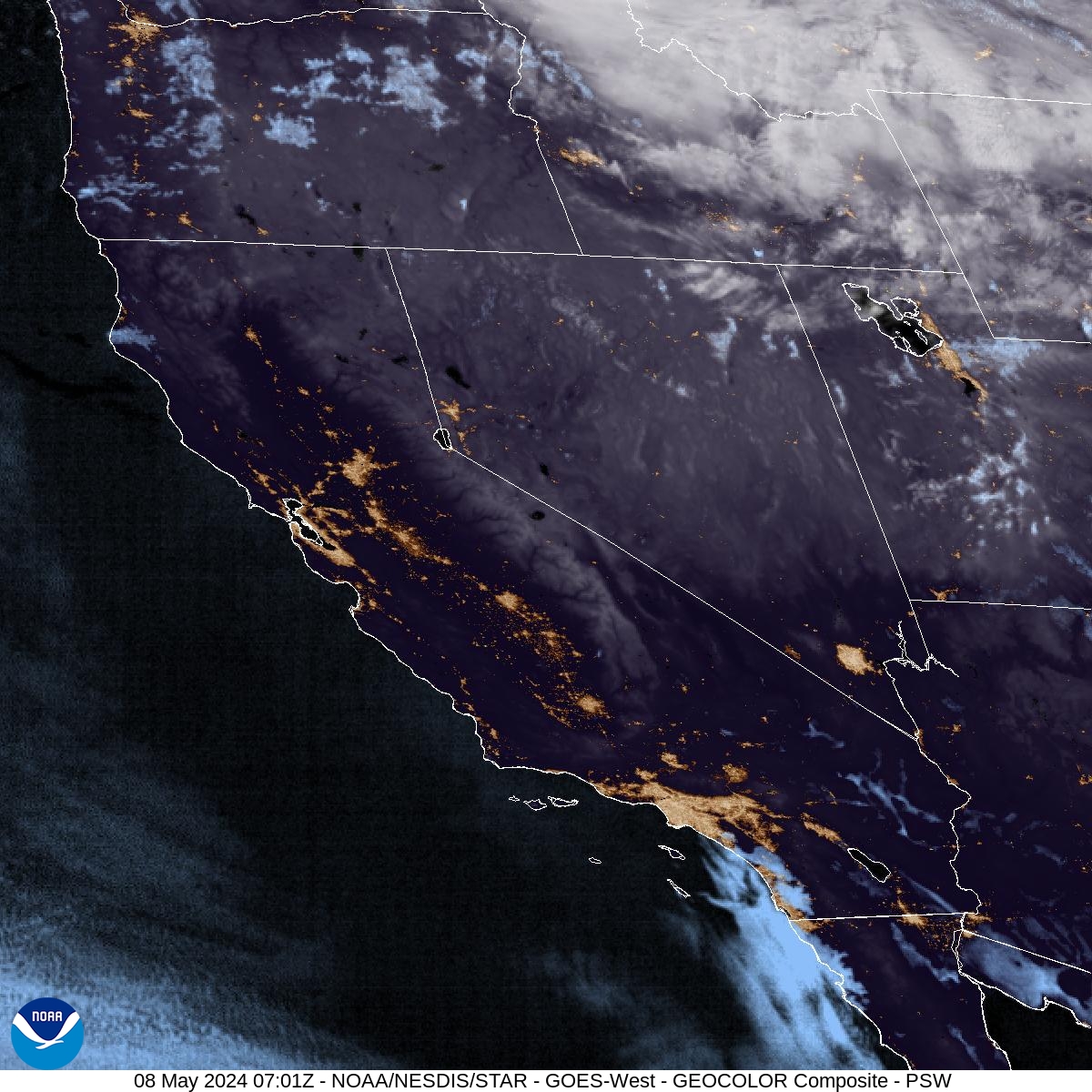
Satellite - Eastern Pacific / West Coast U.S.

Time-lapse (past 24 hours)
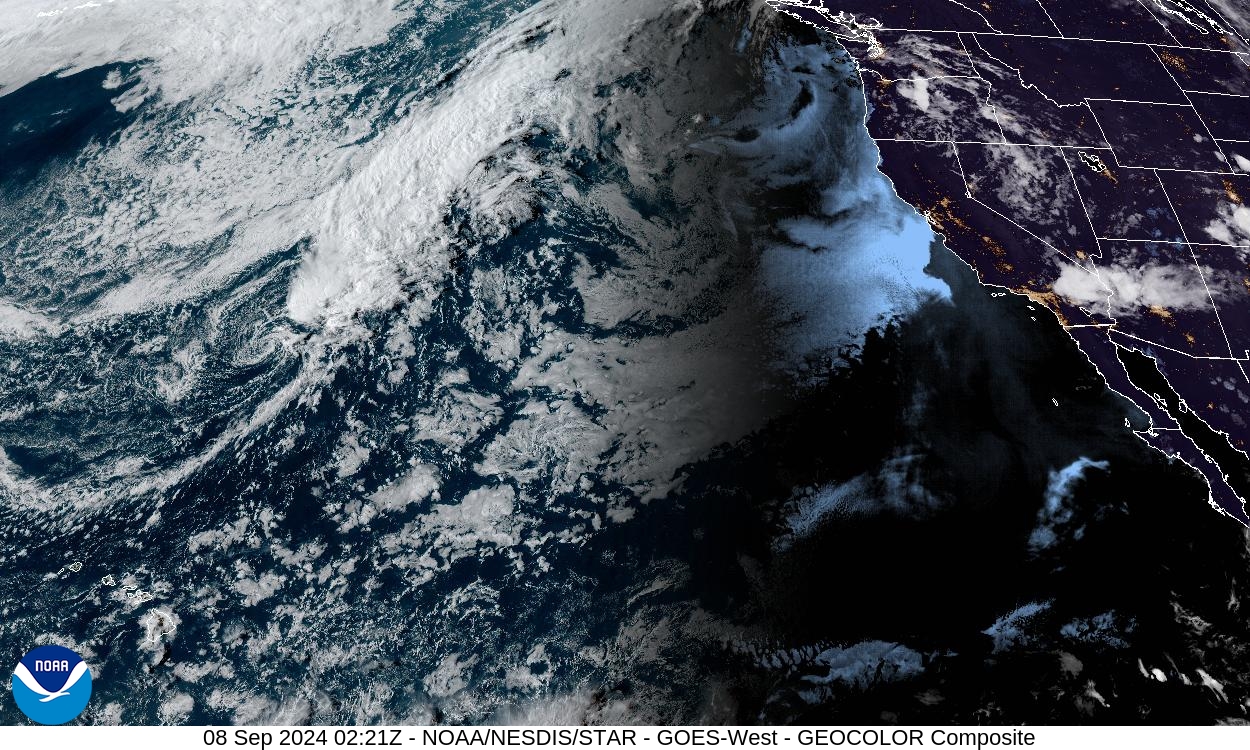
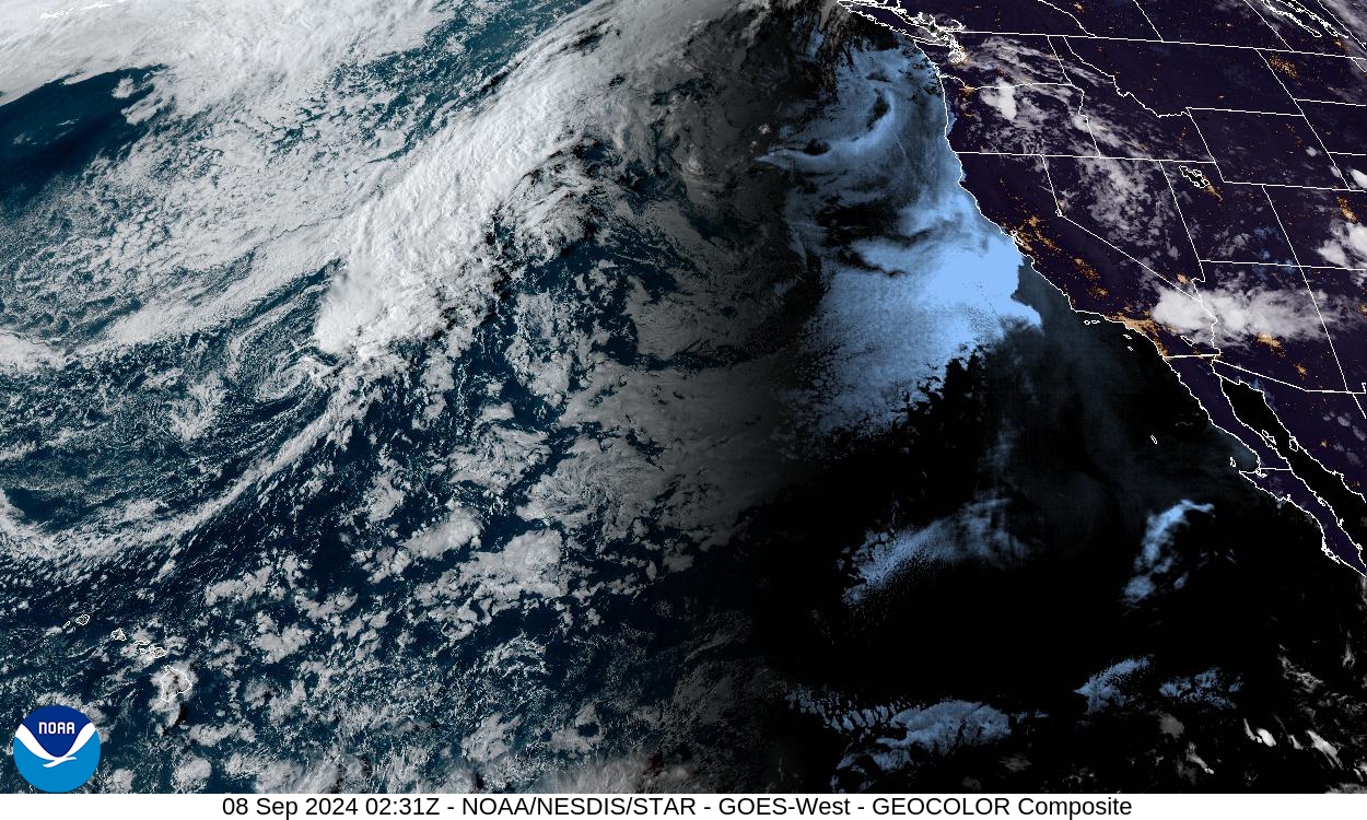
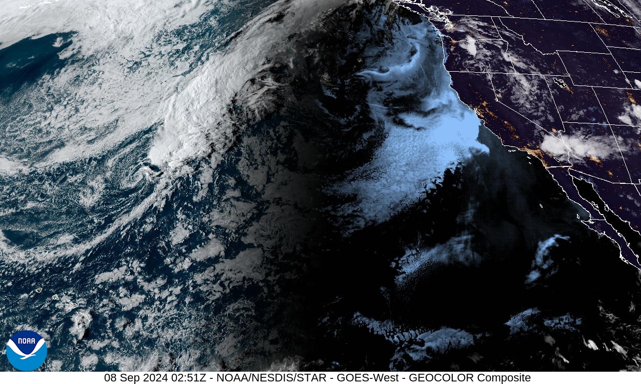
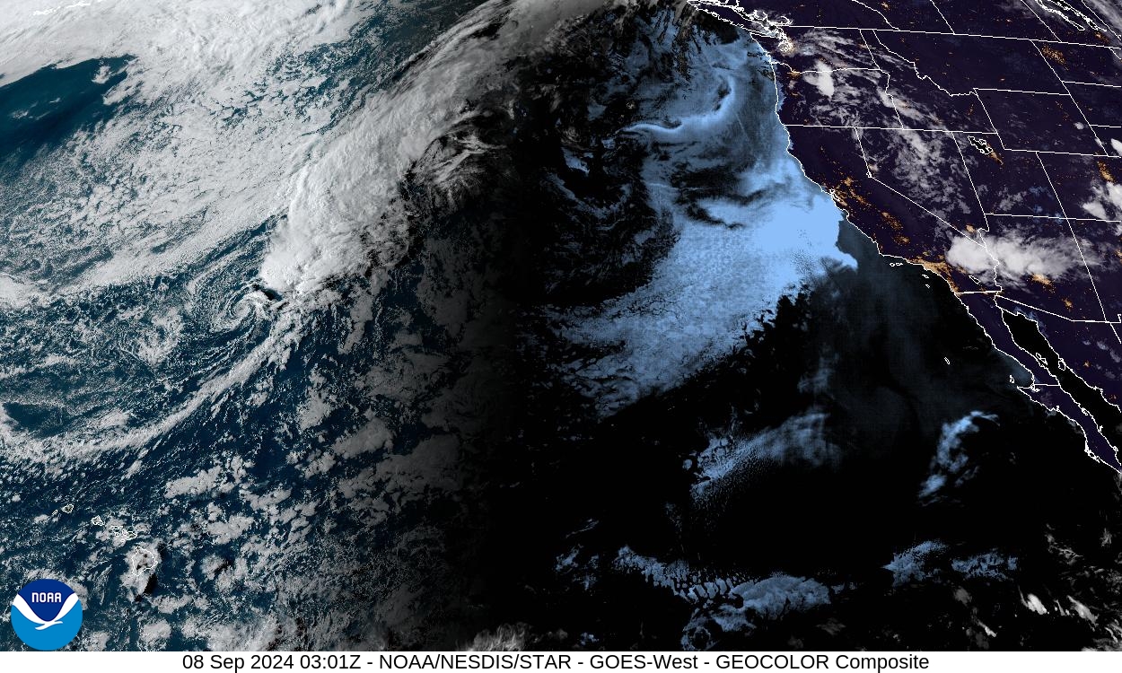

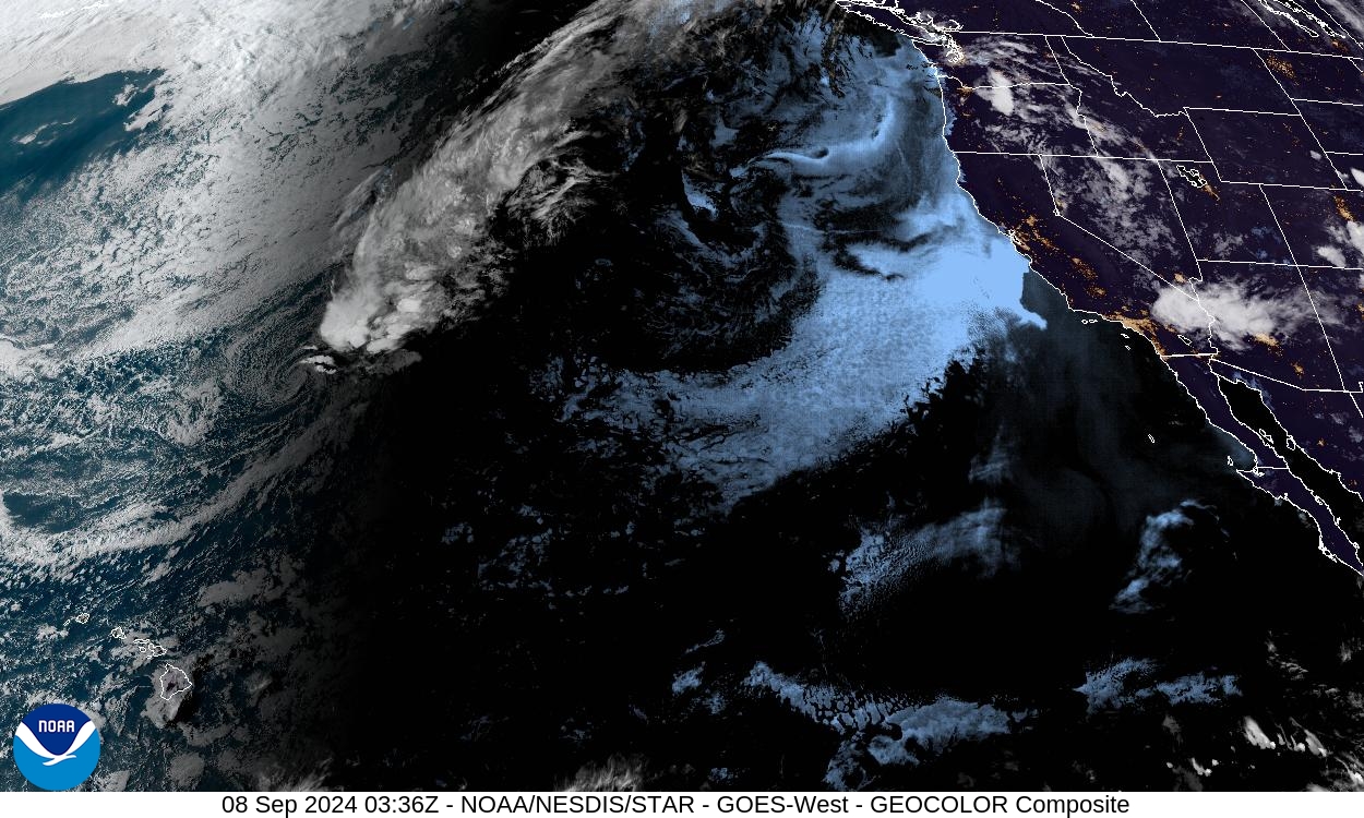
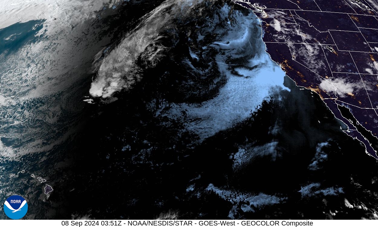
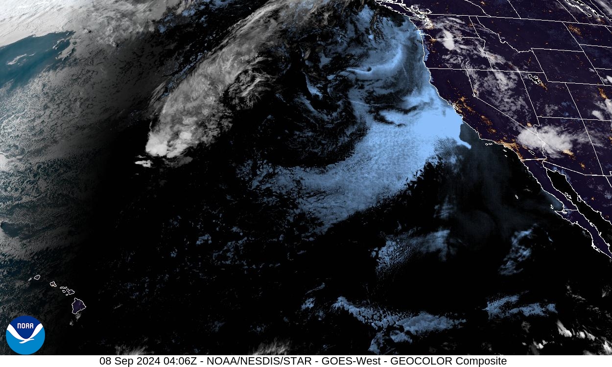
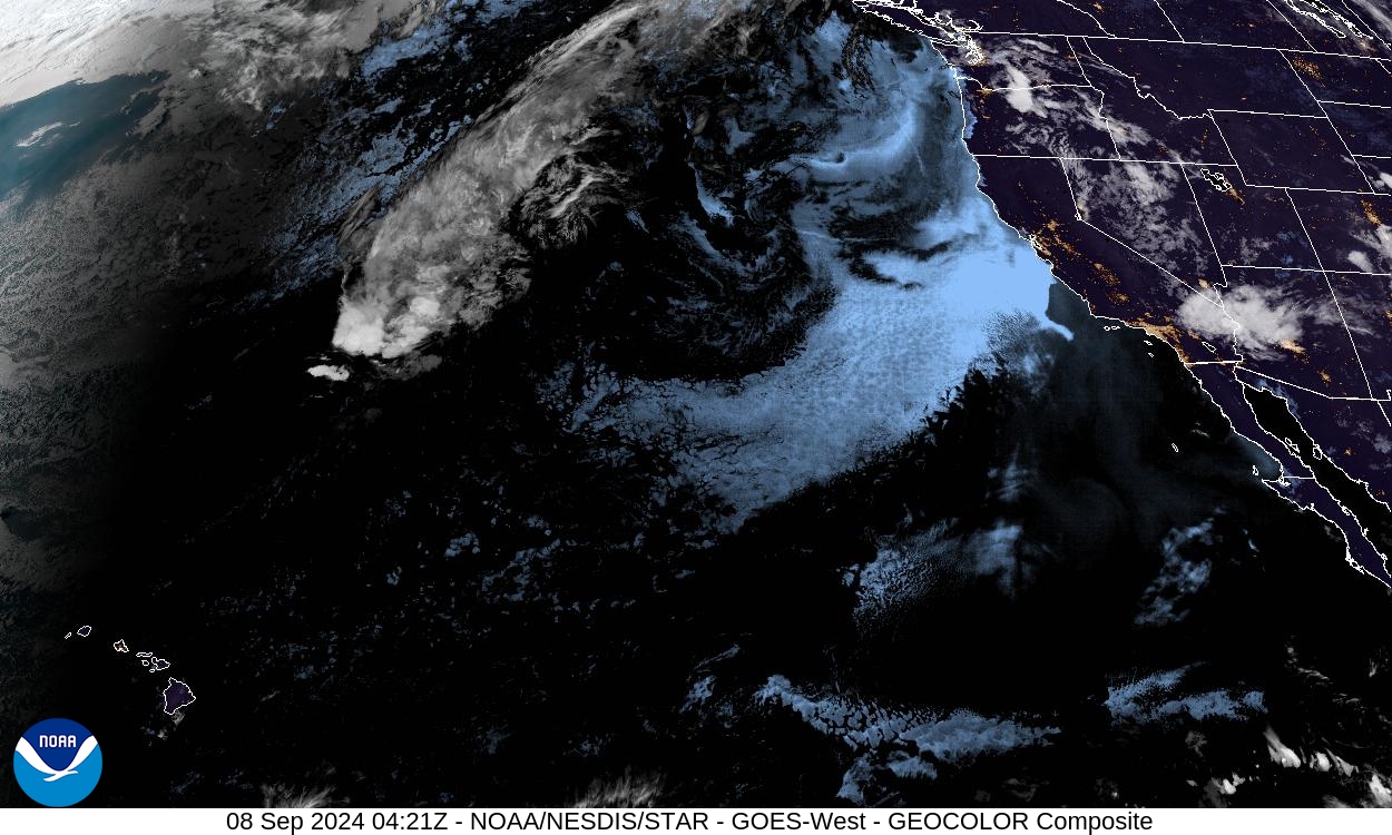
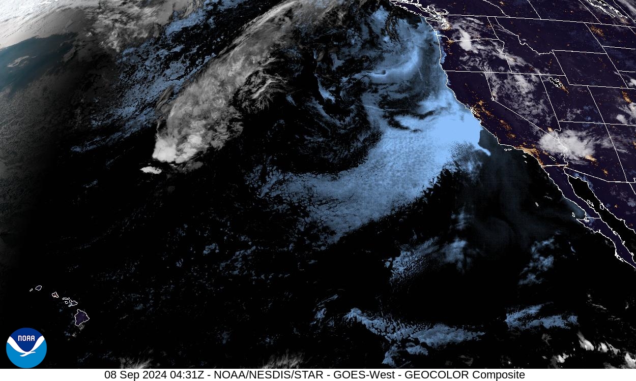
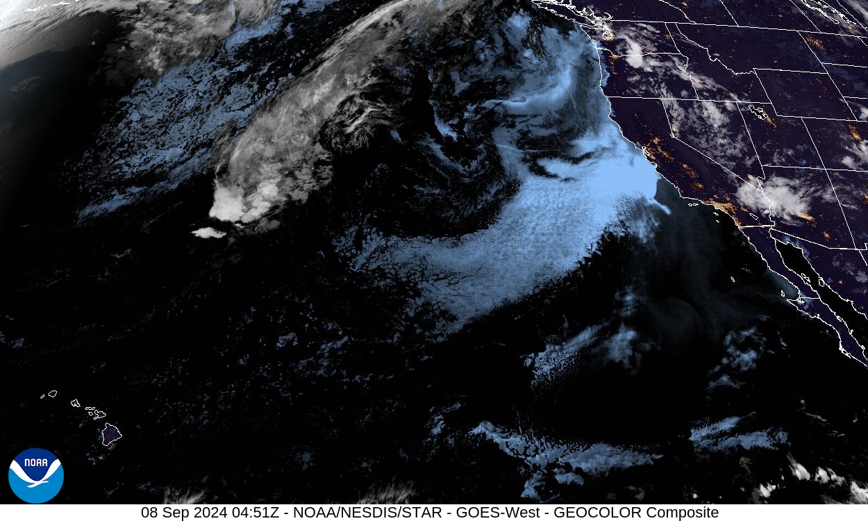

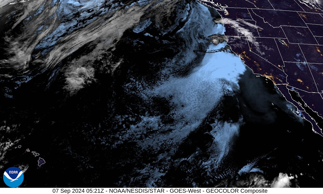


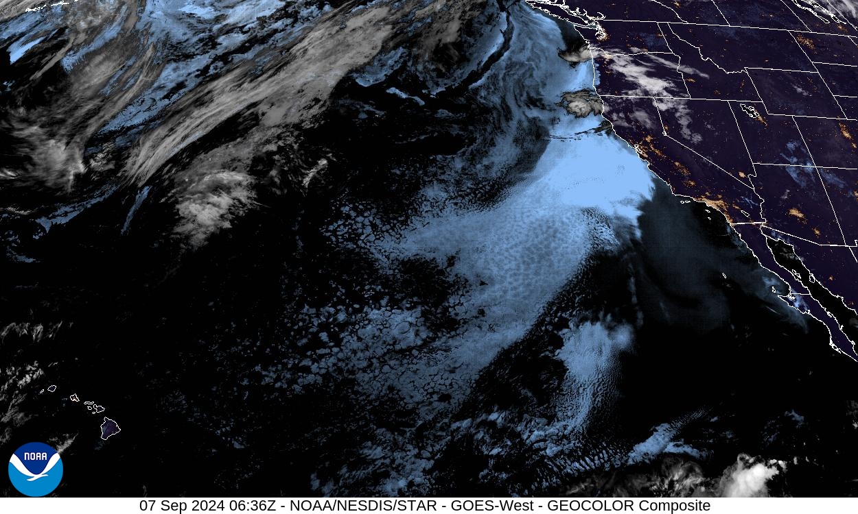
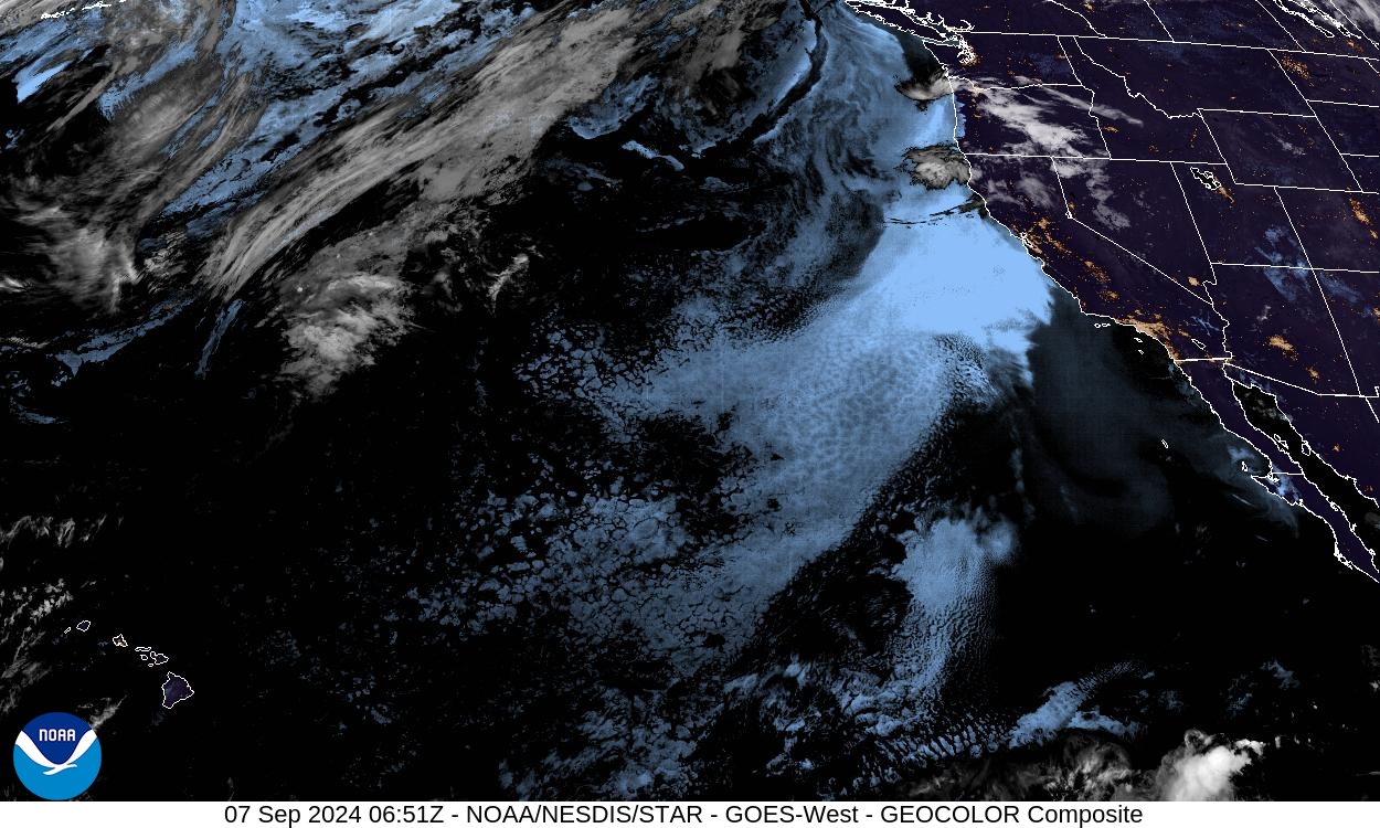

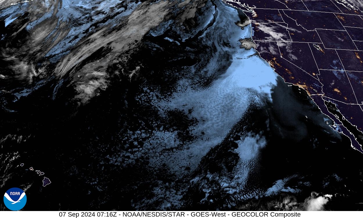

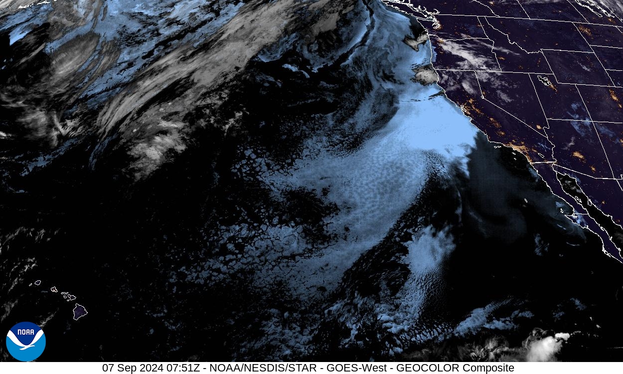


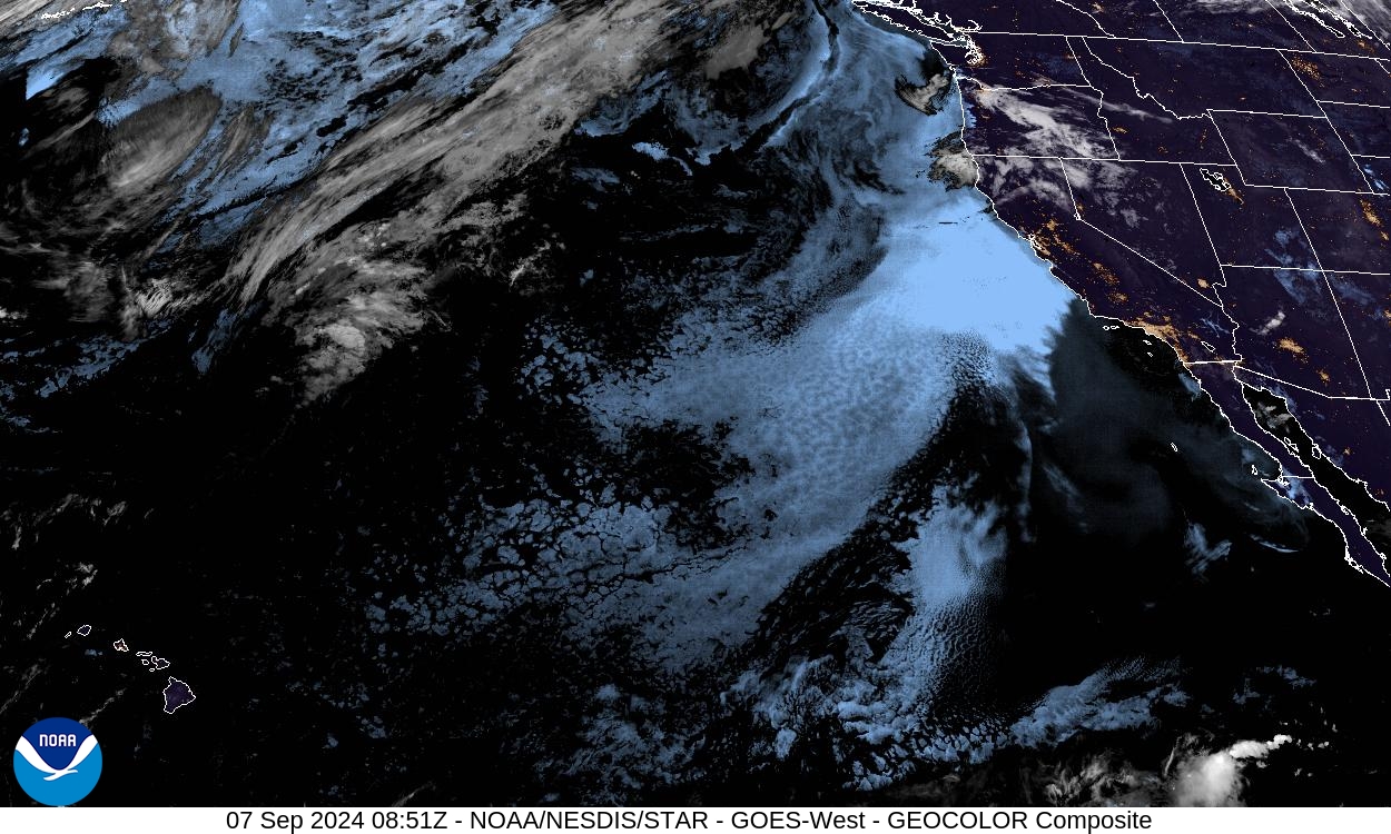
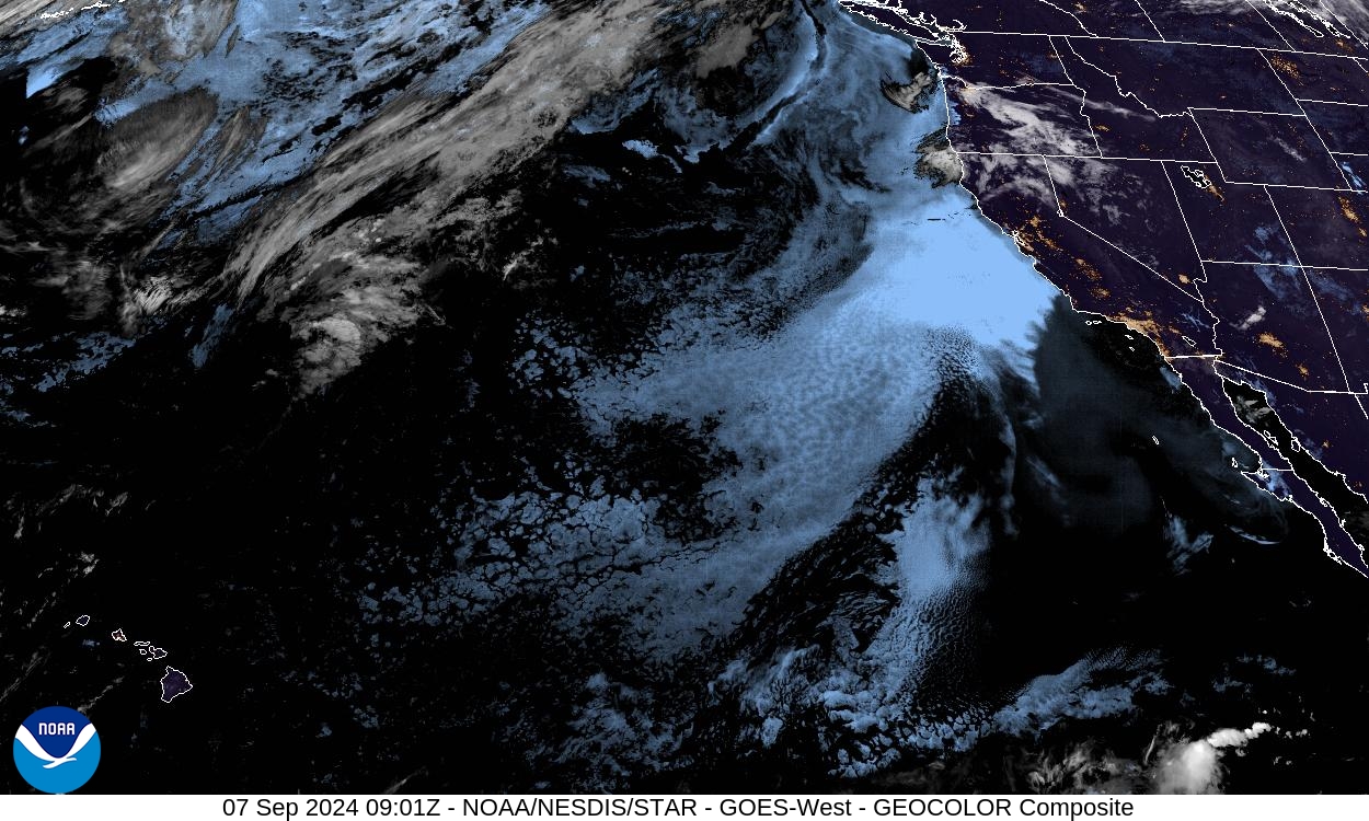
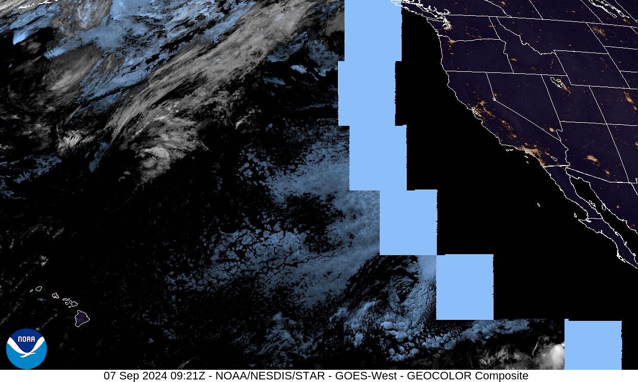
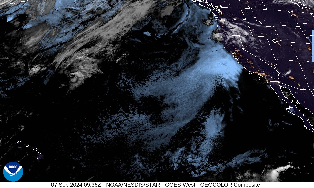
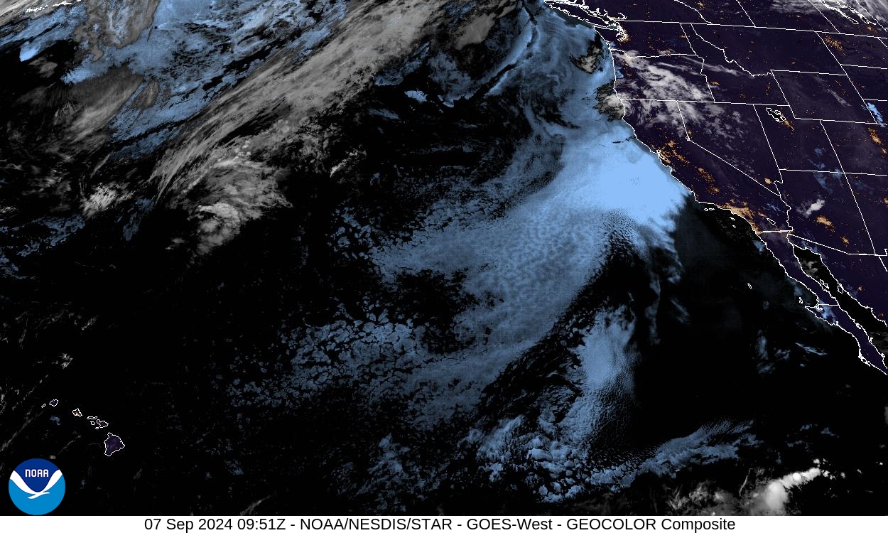
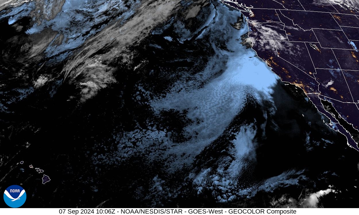

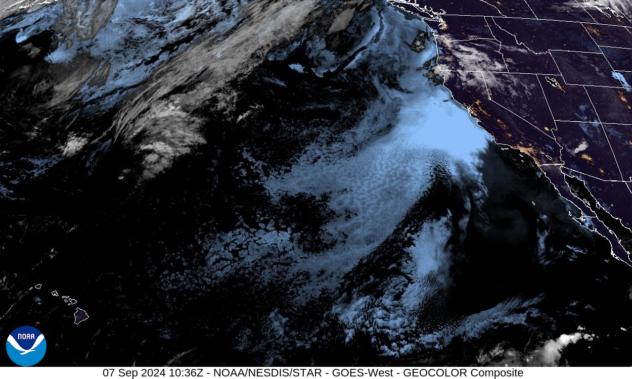
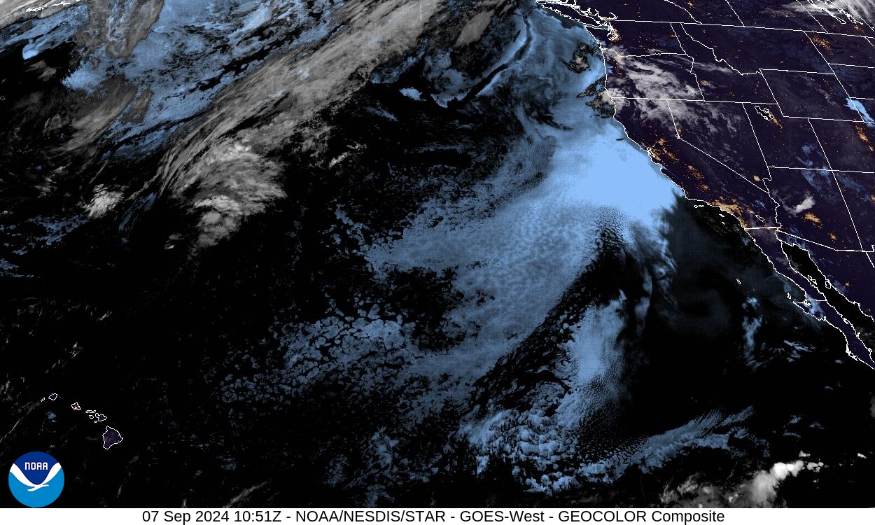
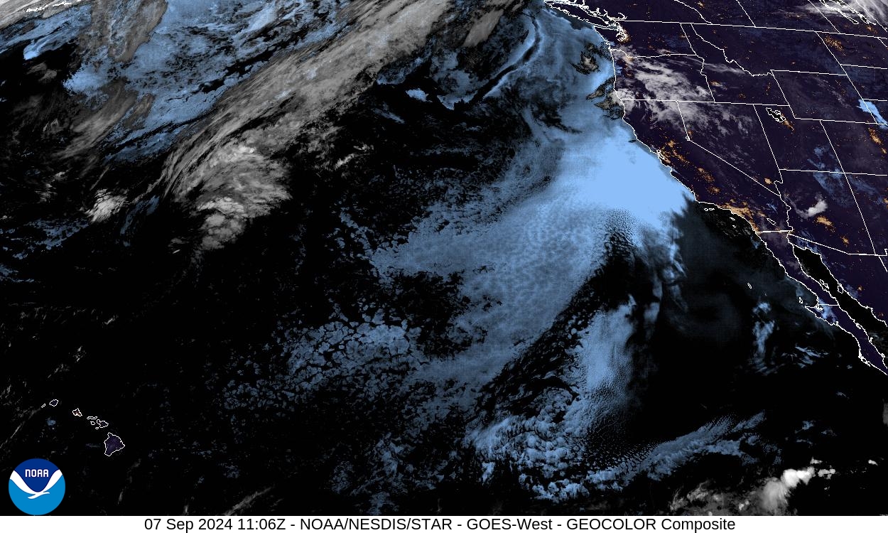

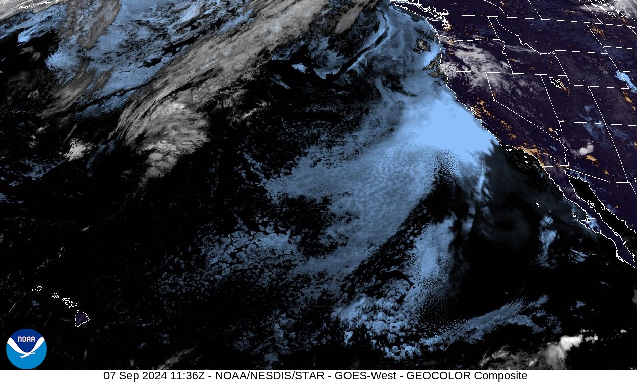


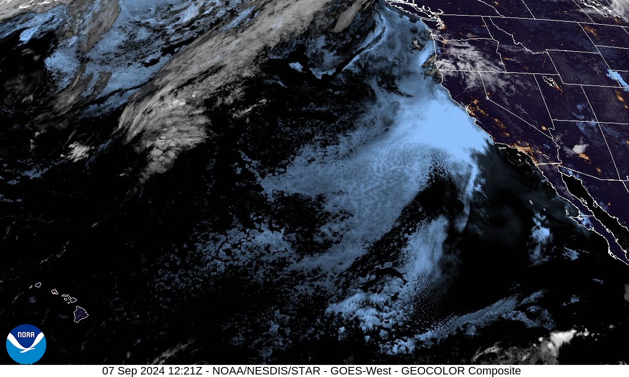

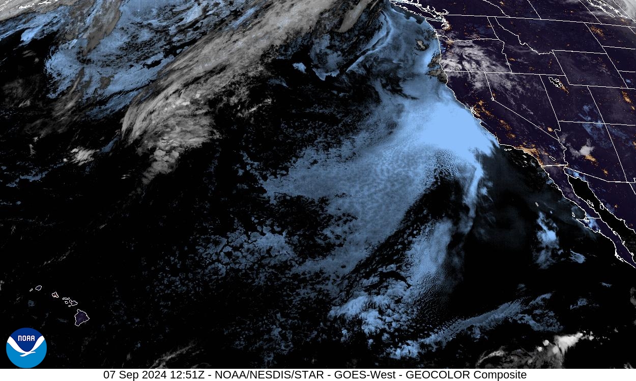
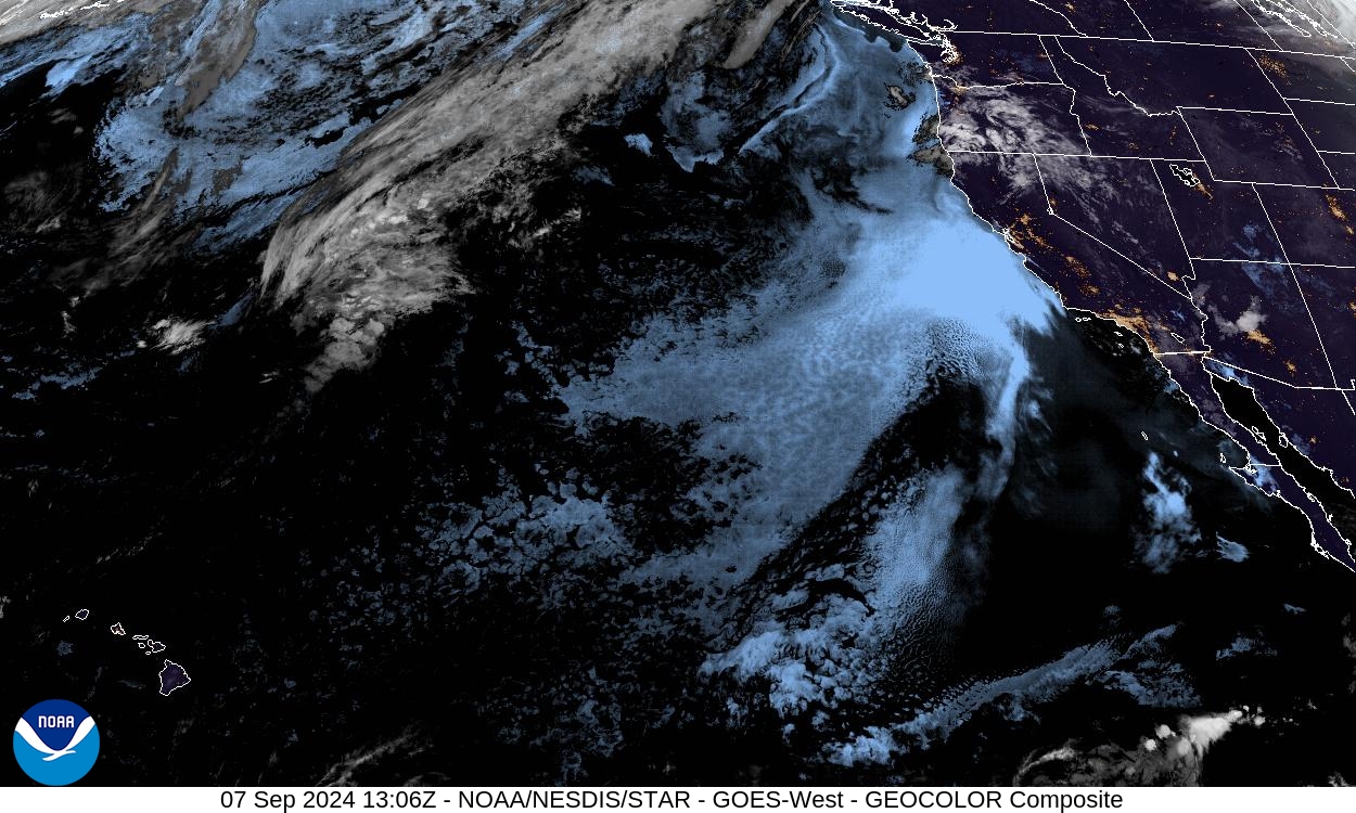
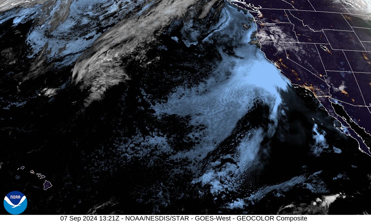
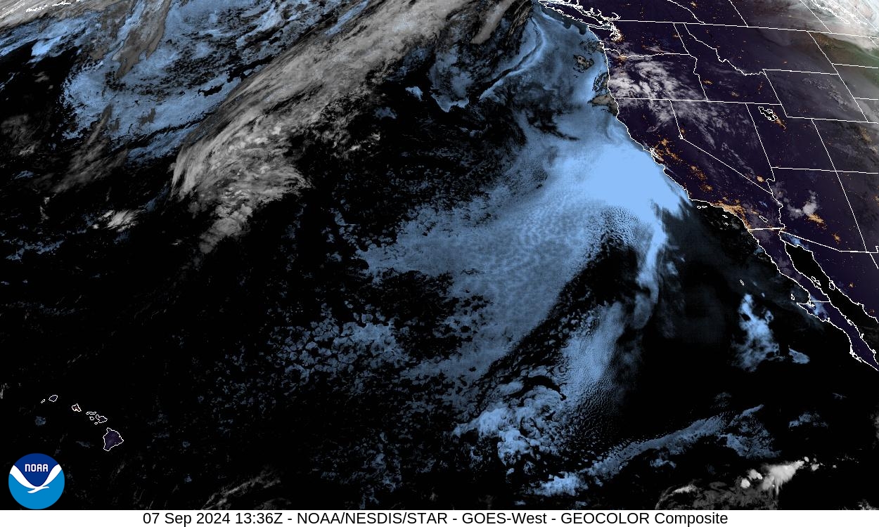
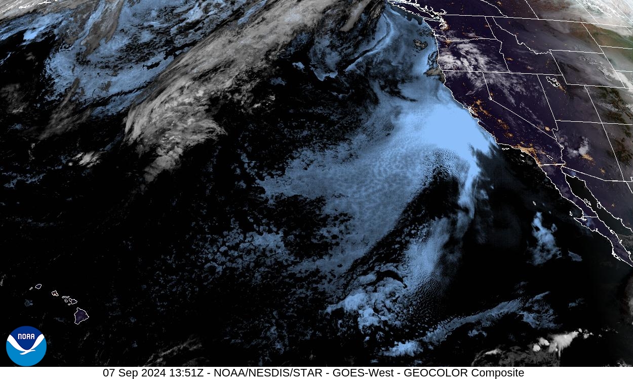
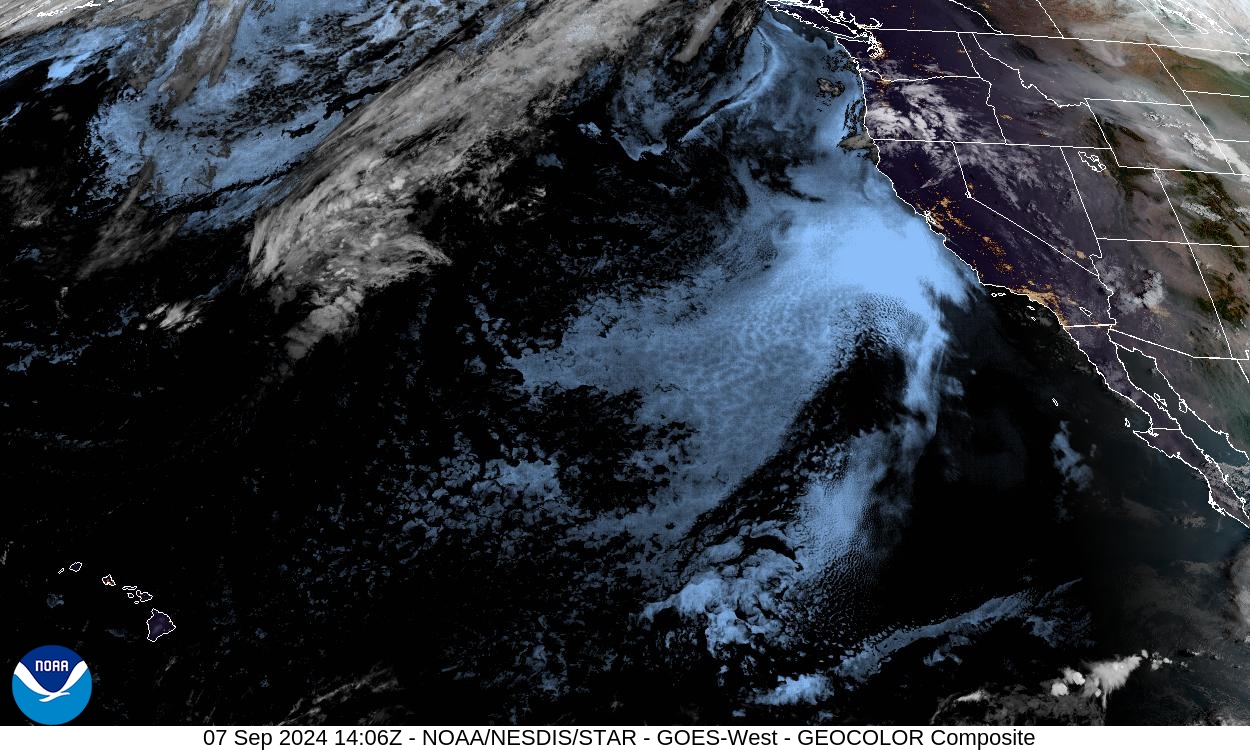

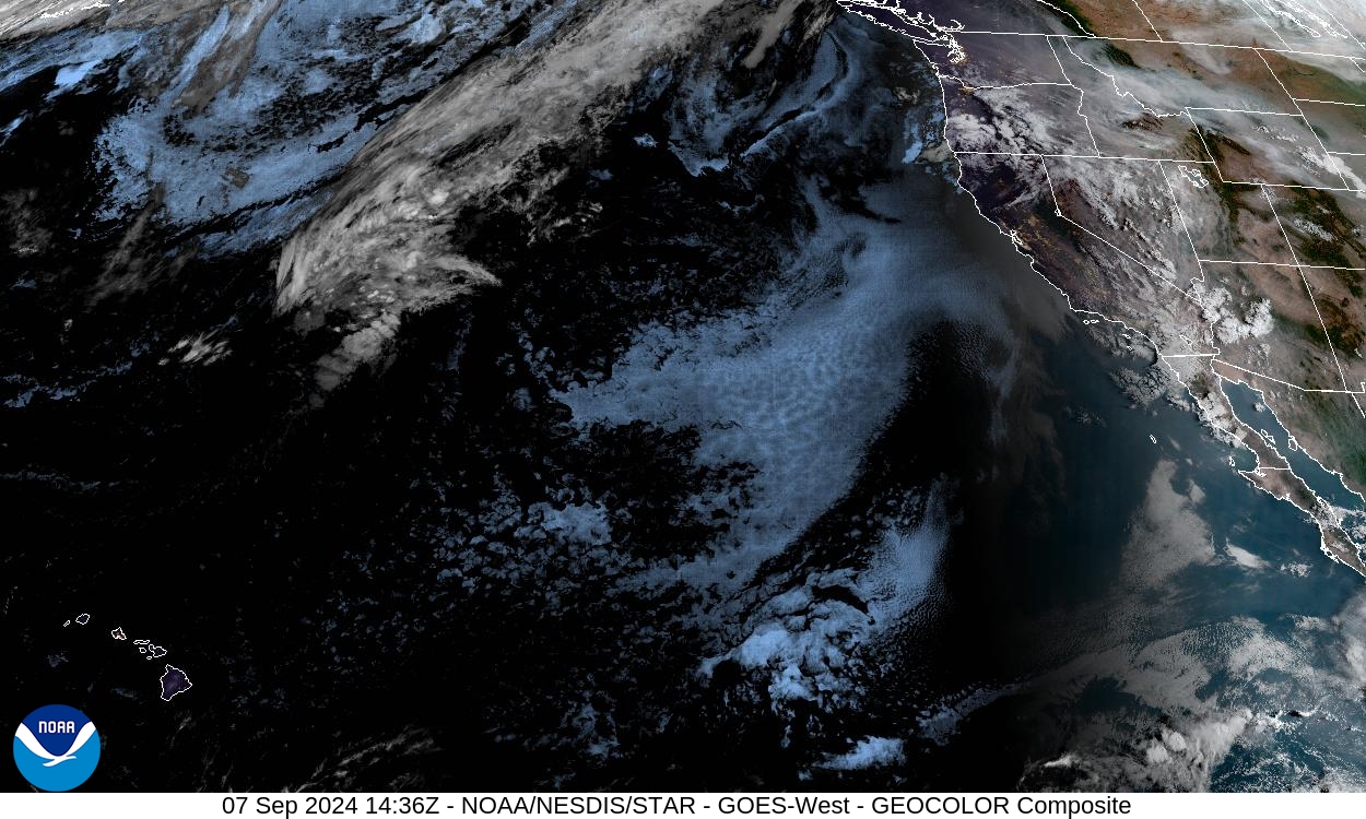

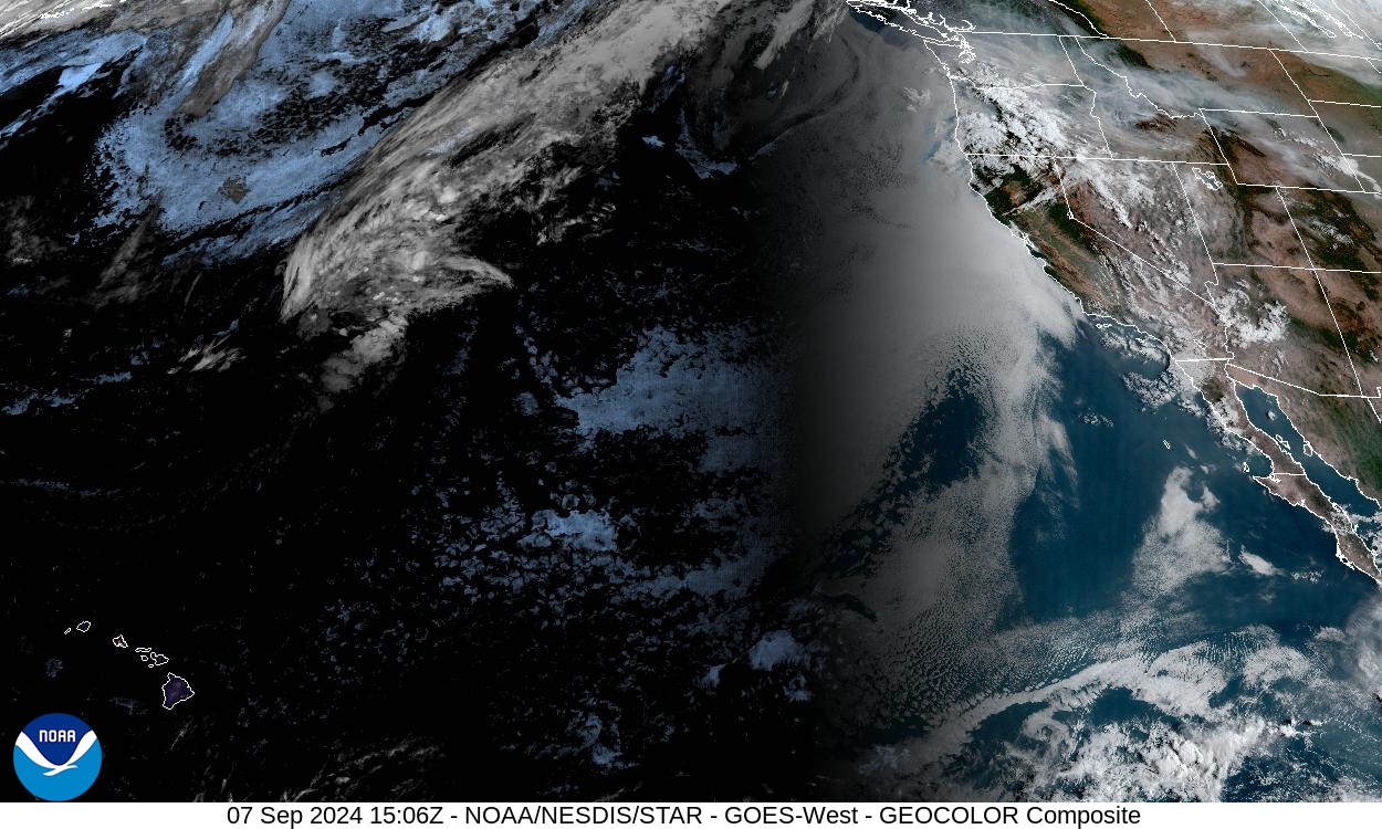
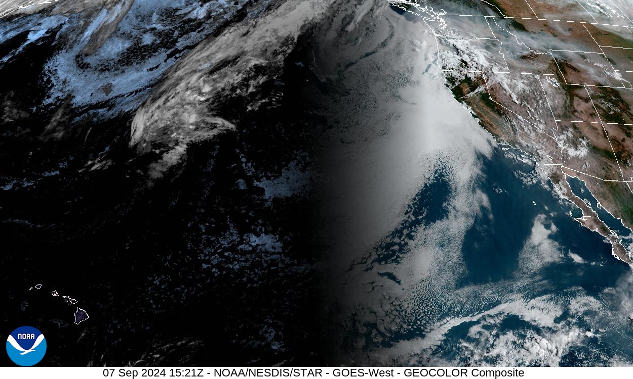
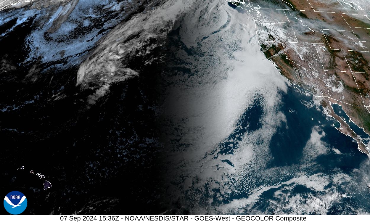
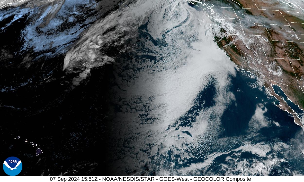
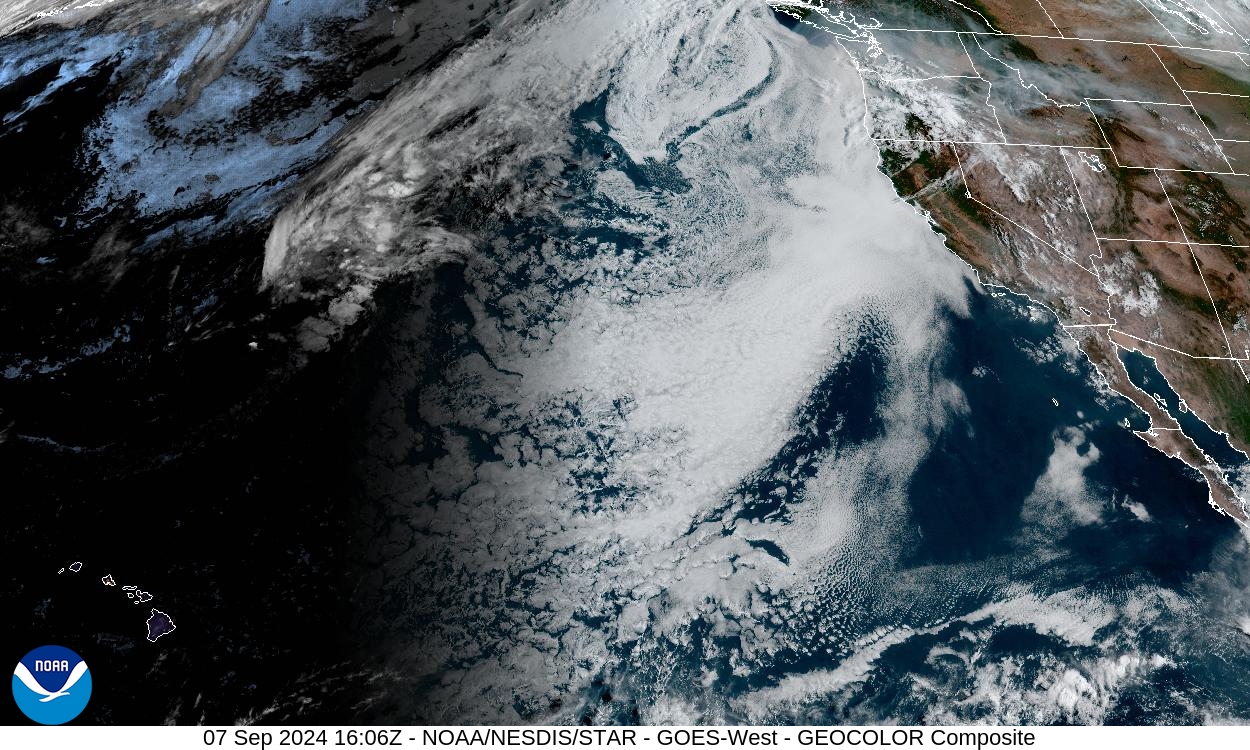
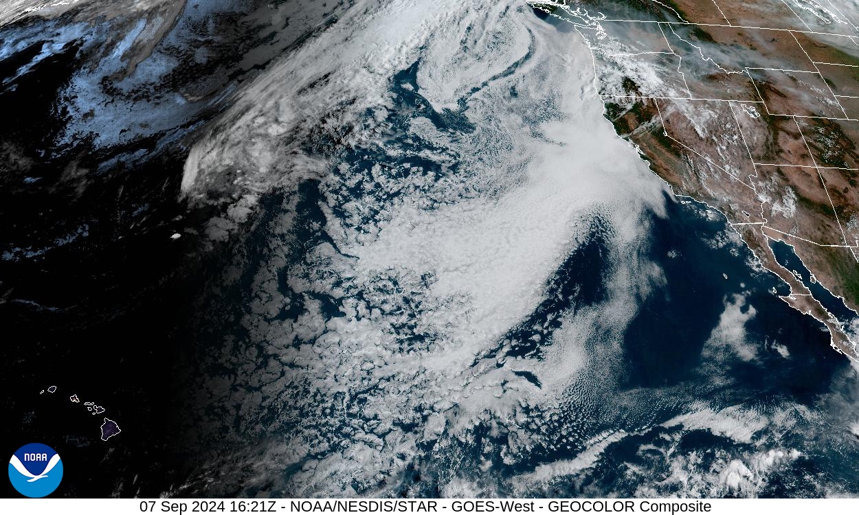
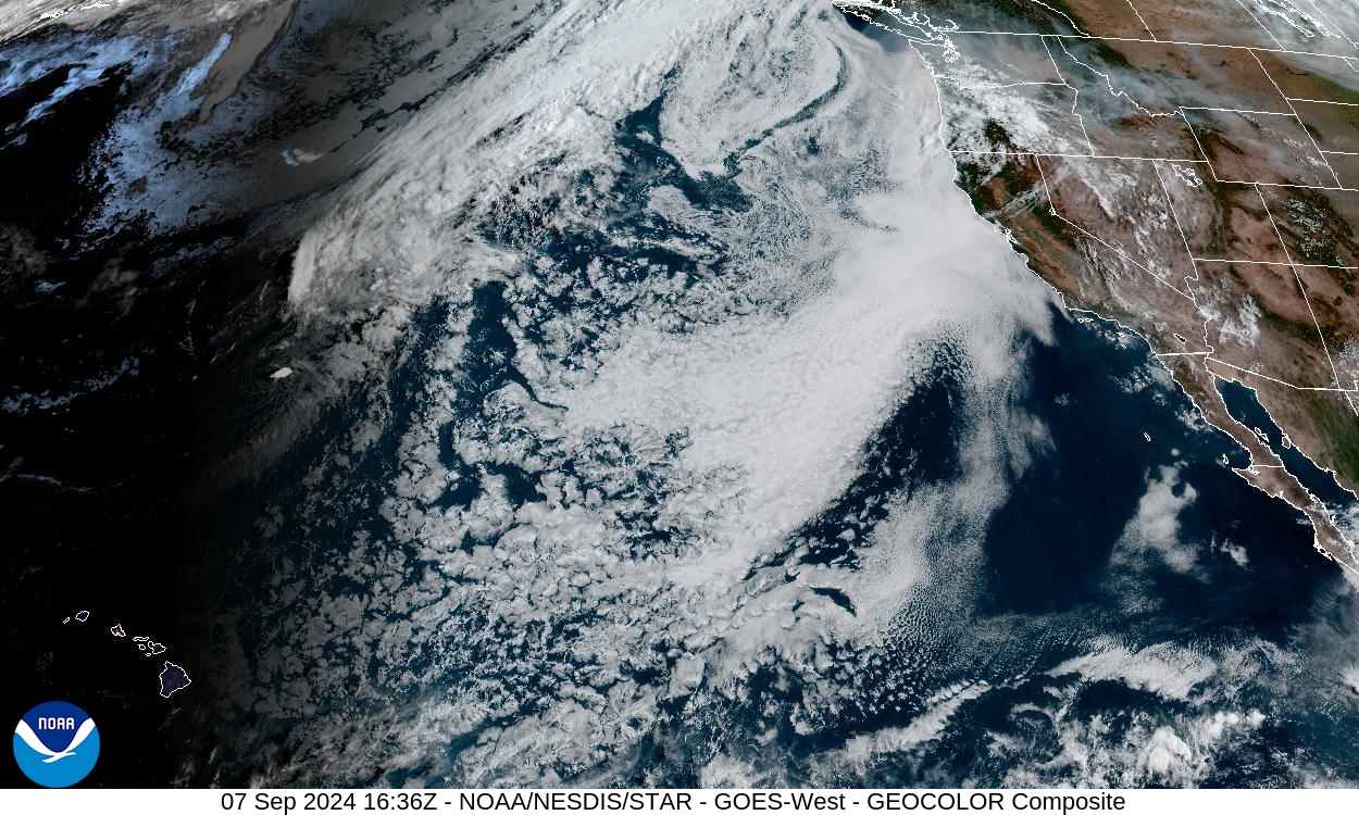
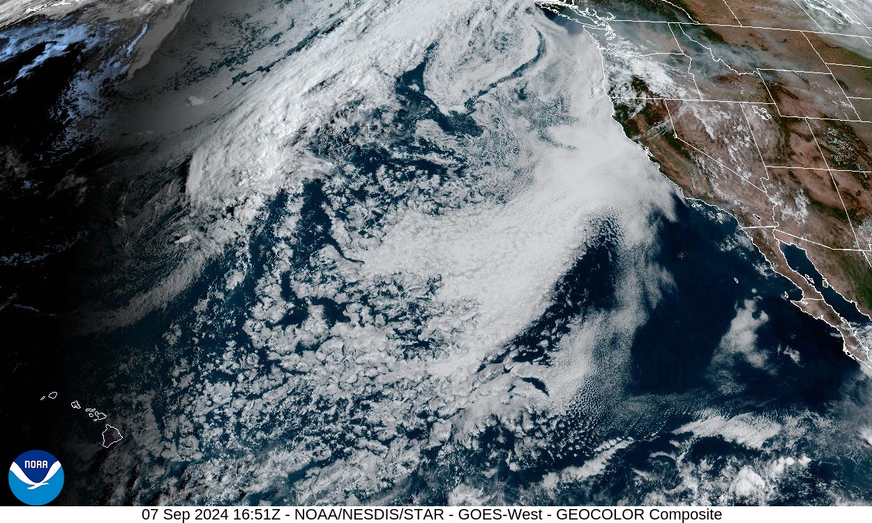
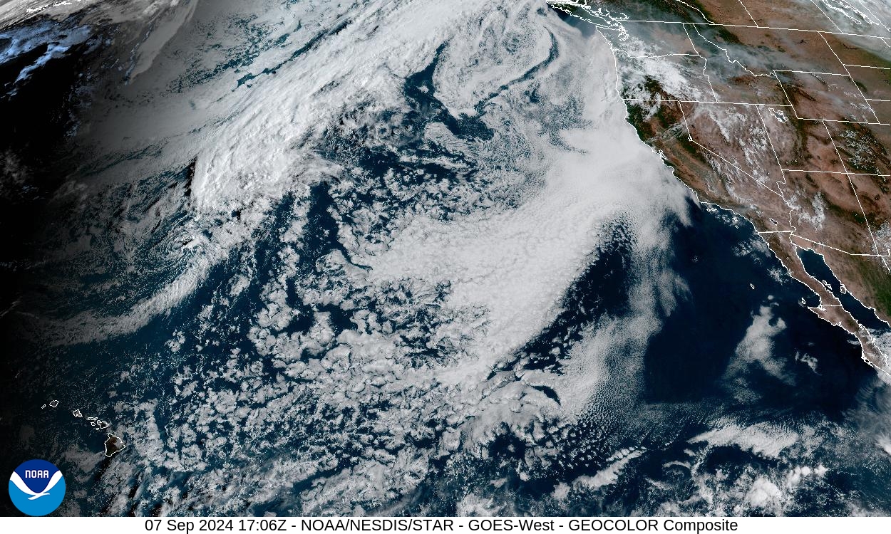
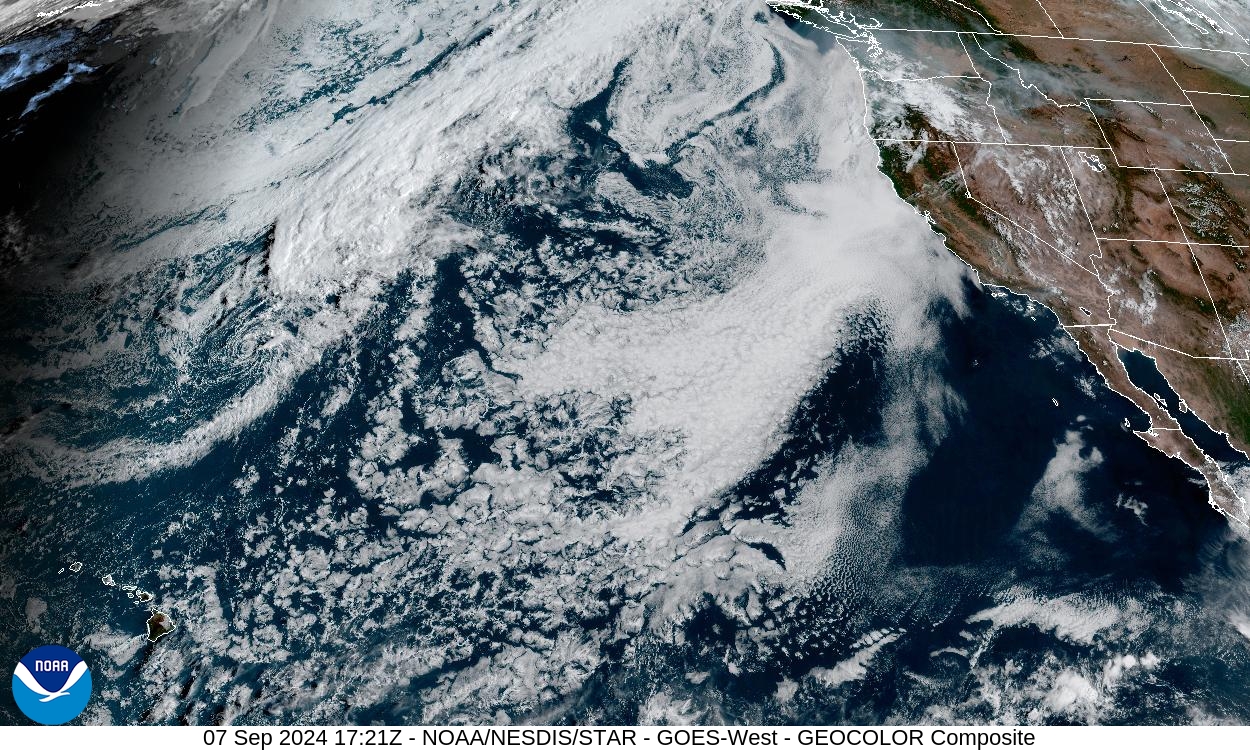

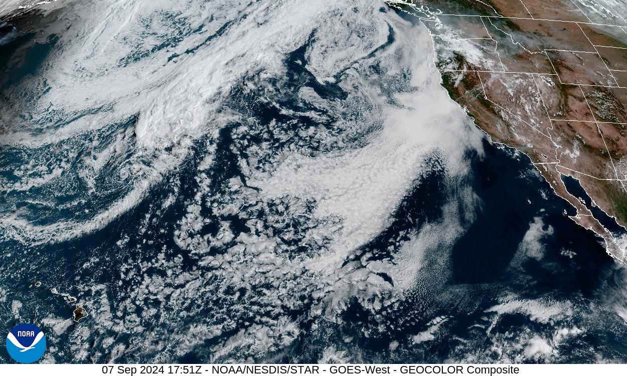

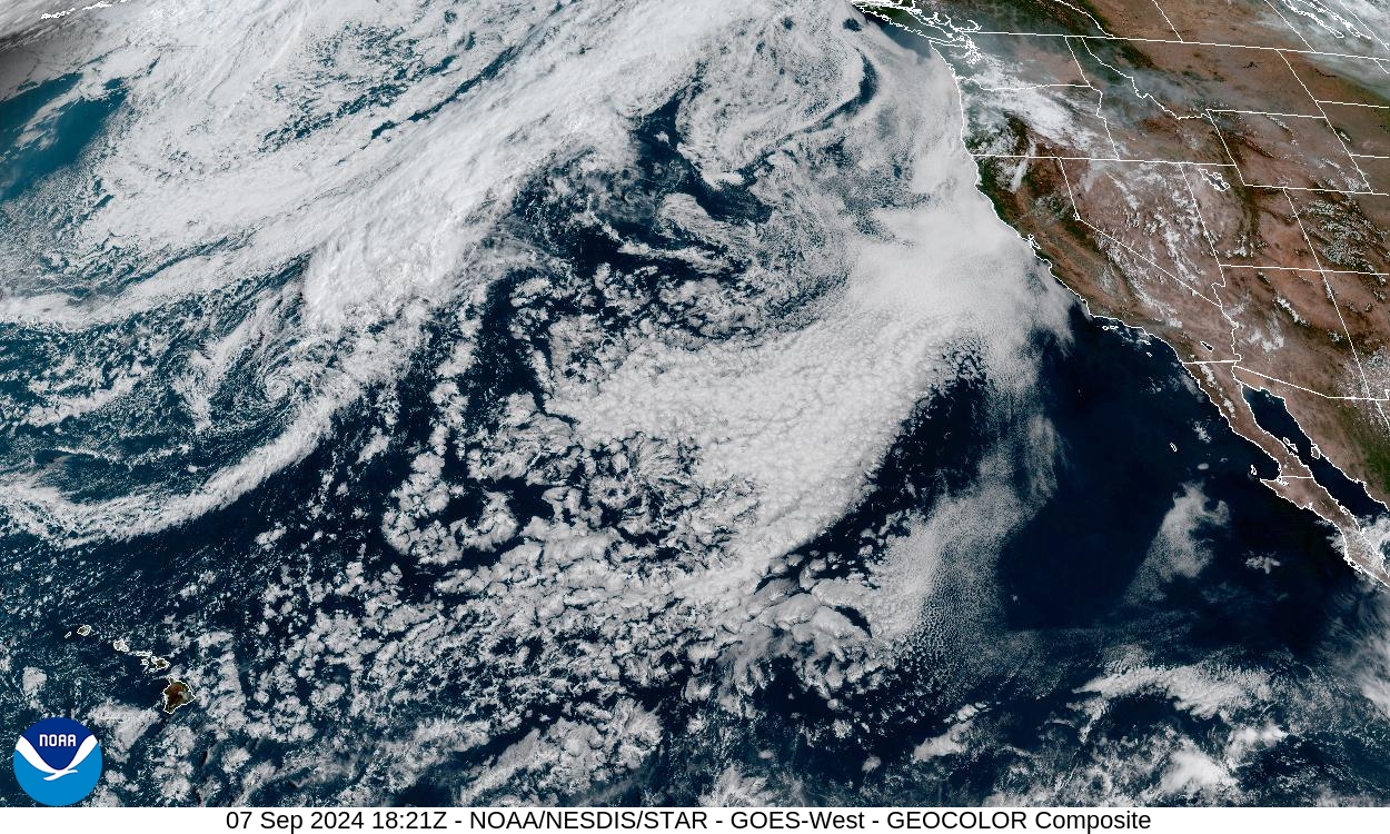
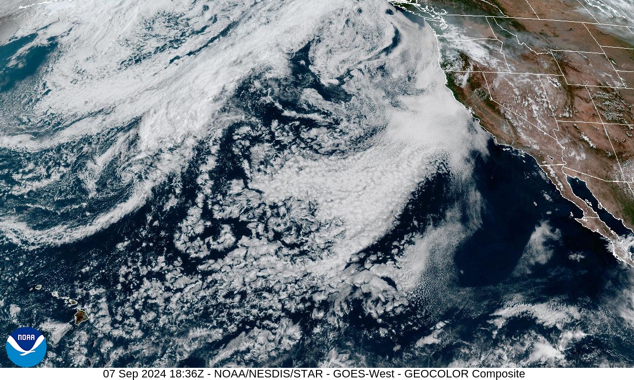

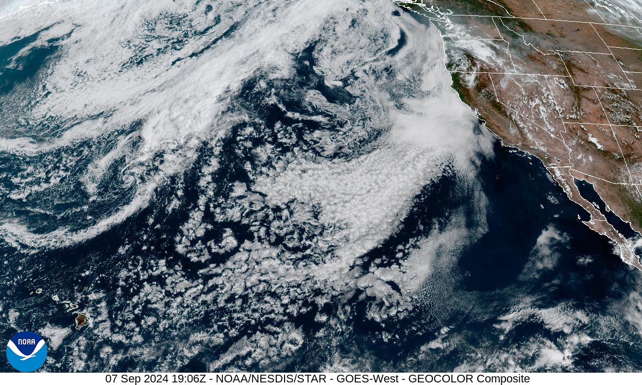
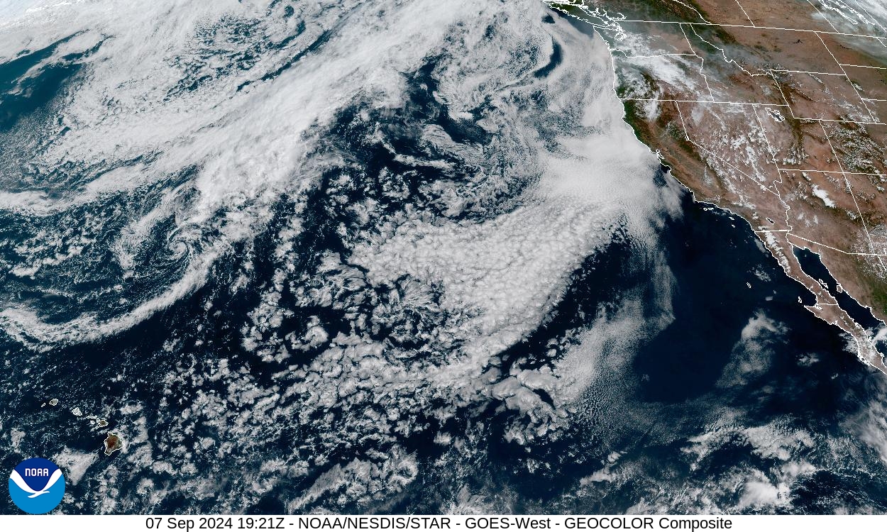

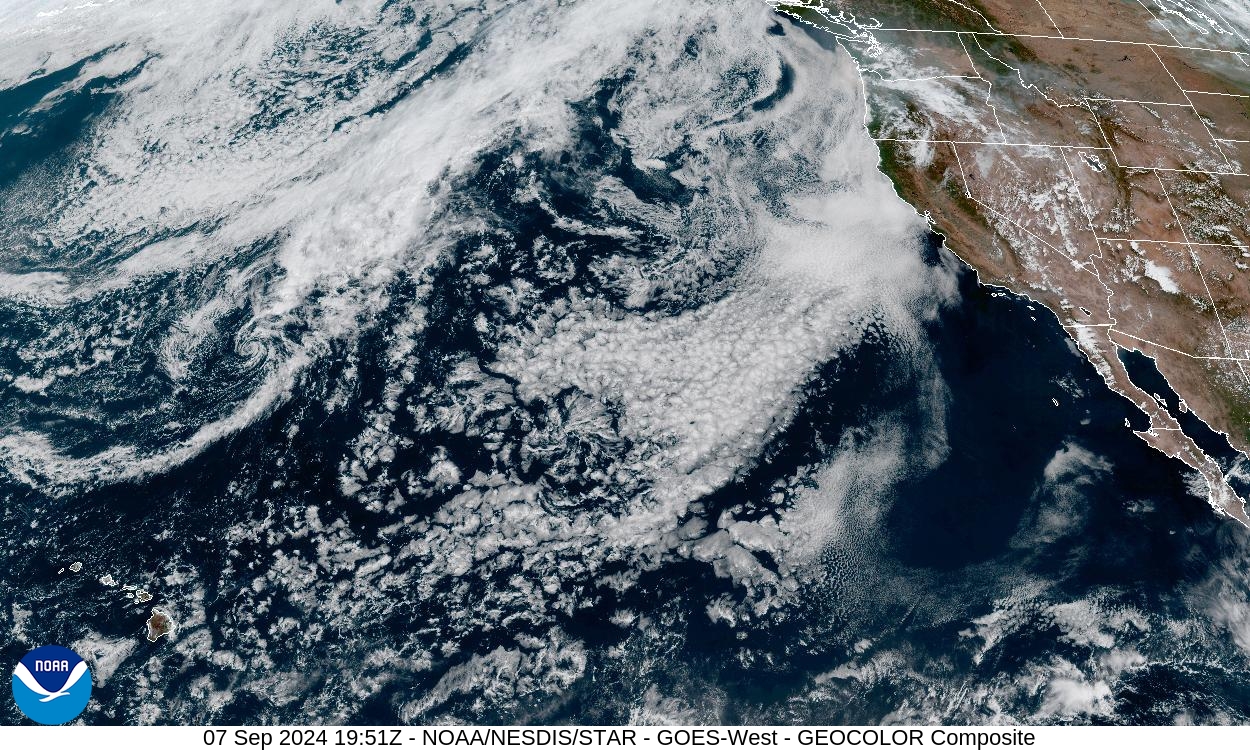

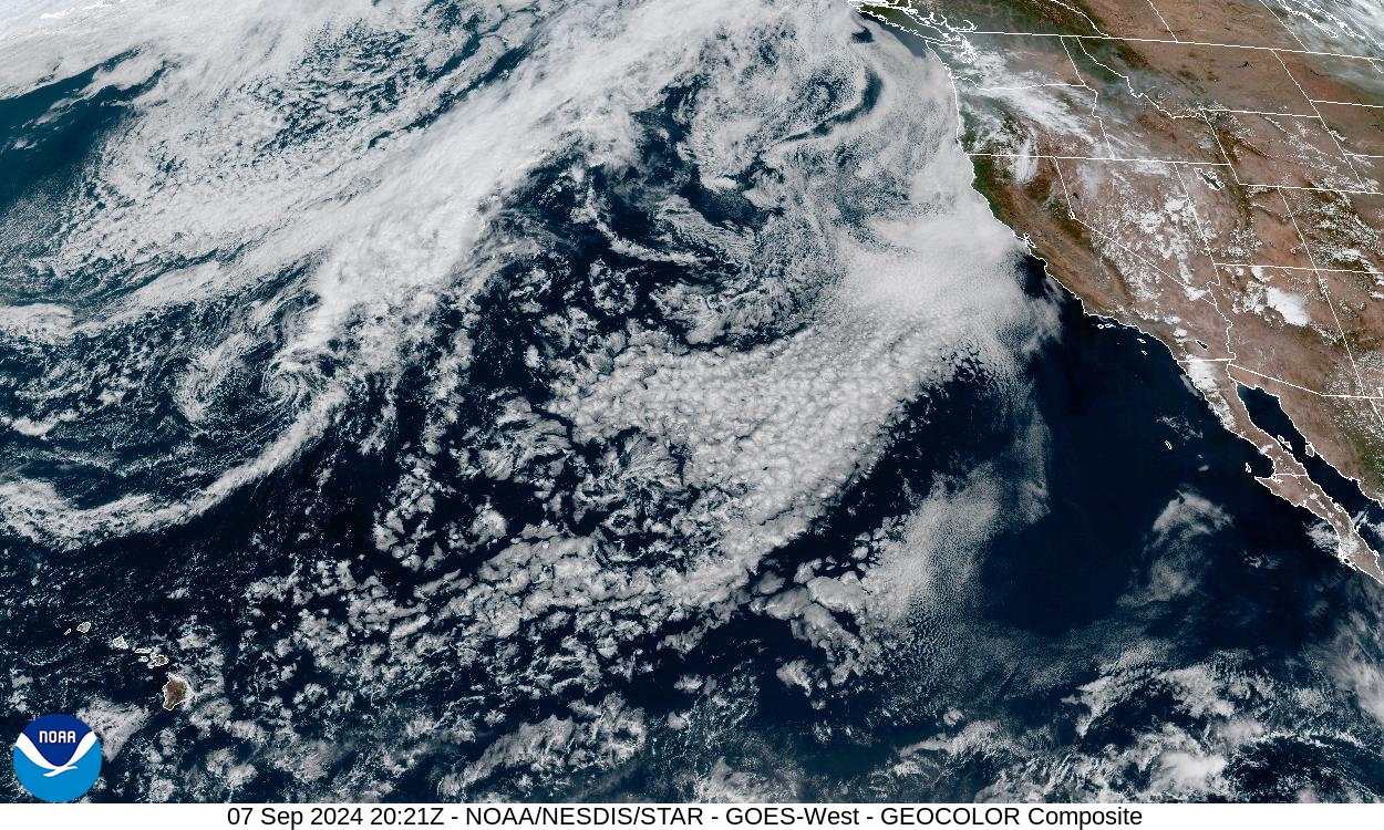

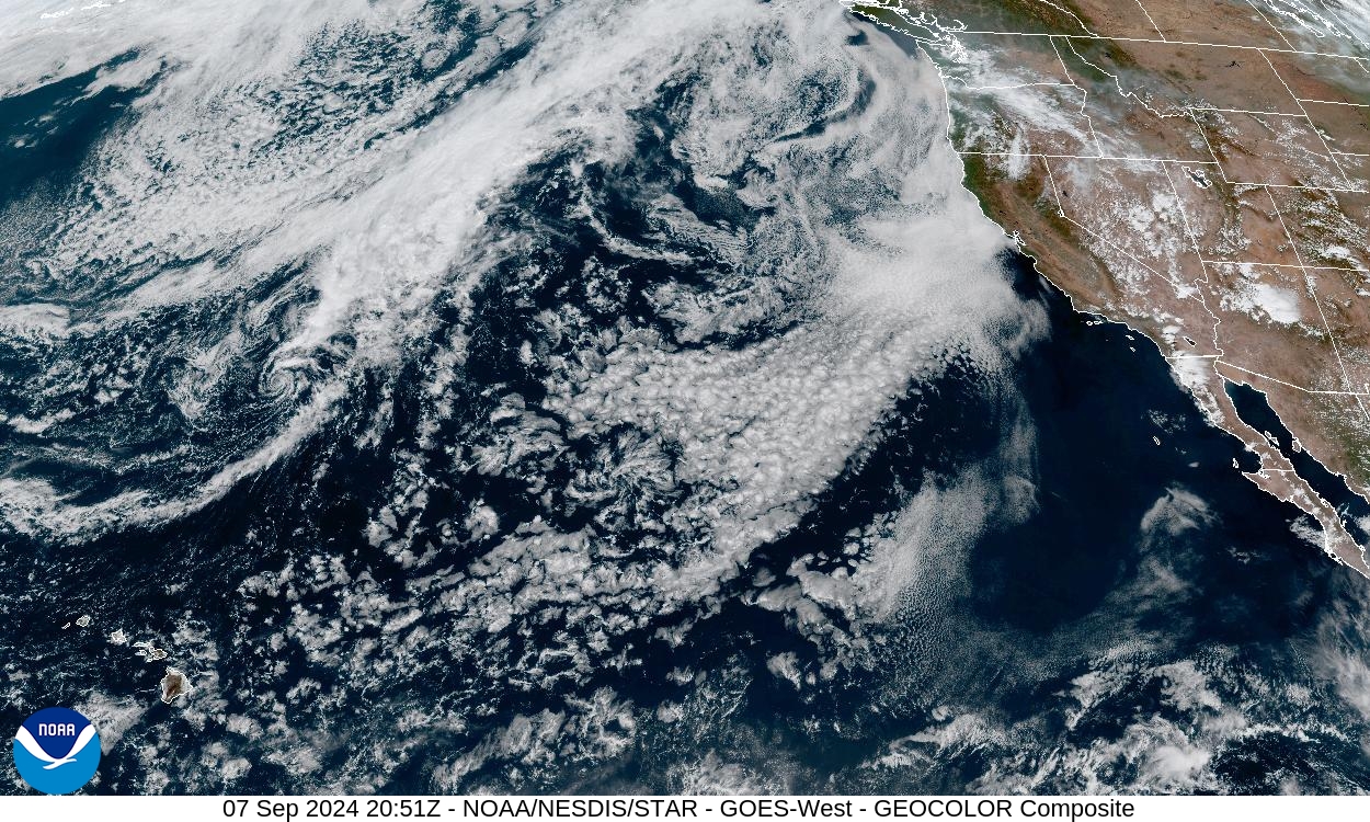
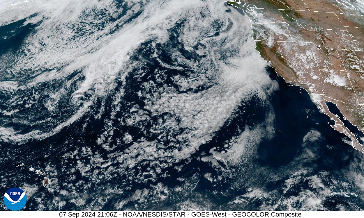

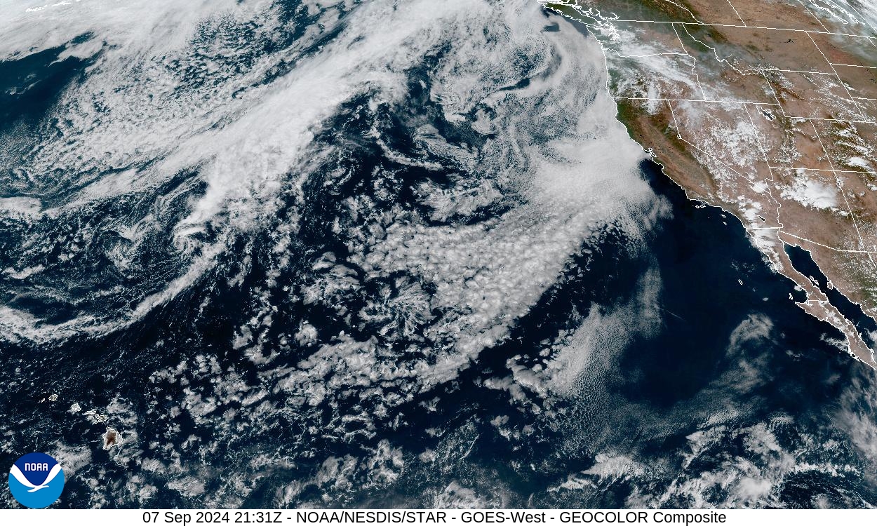
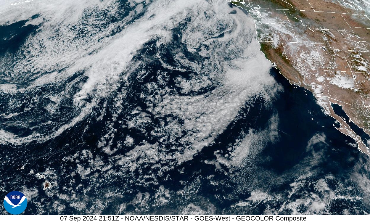
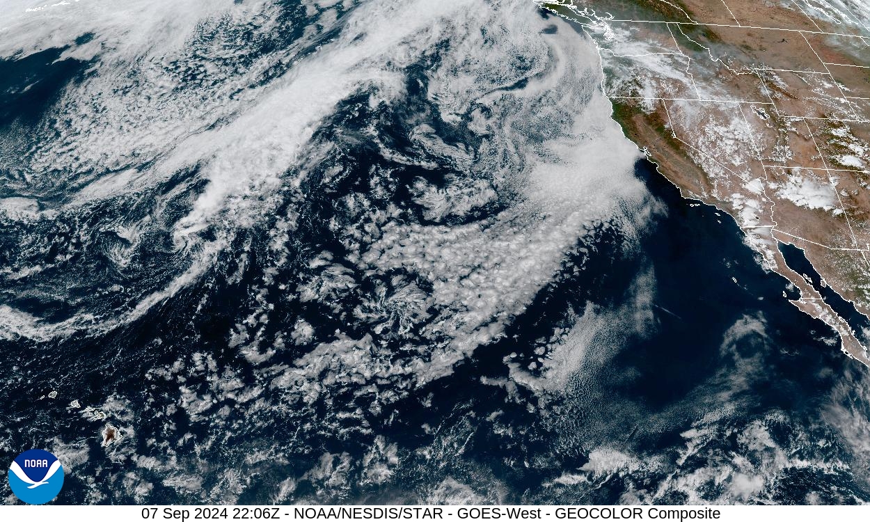
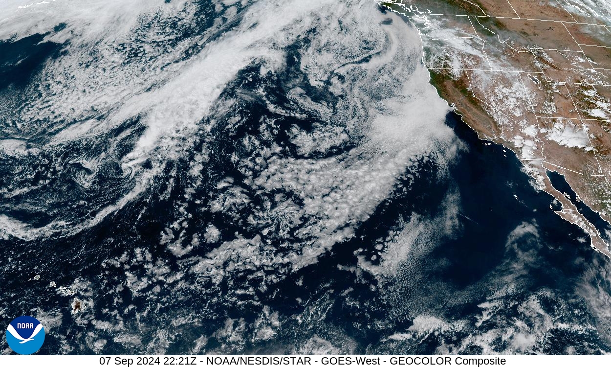
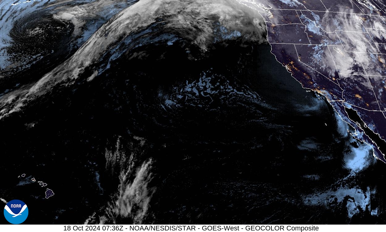

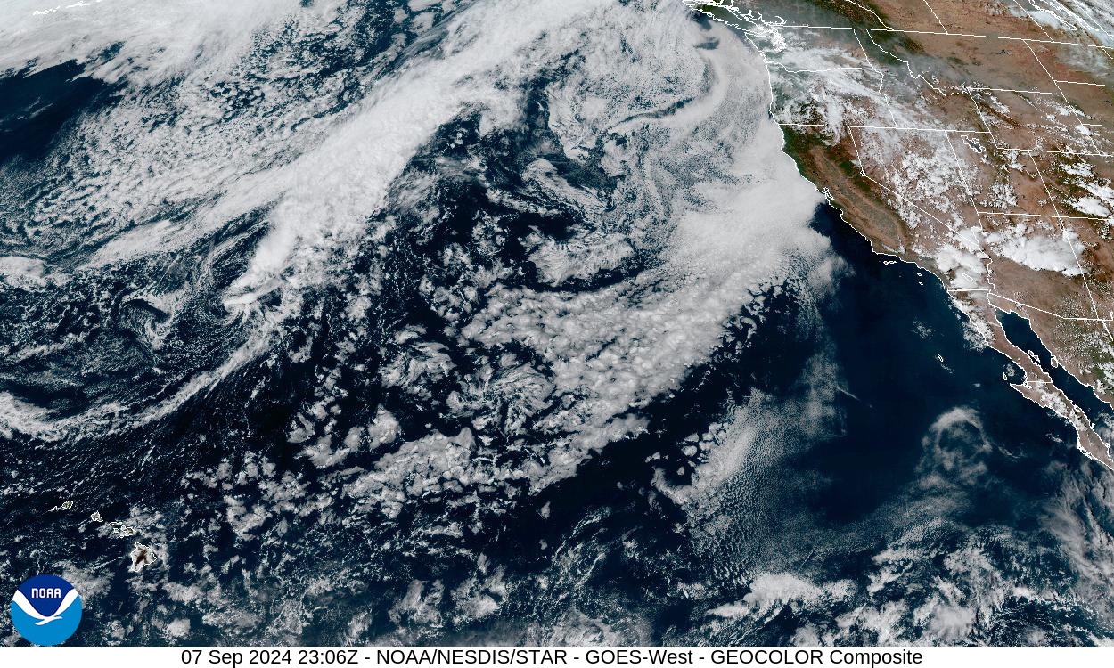
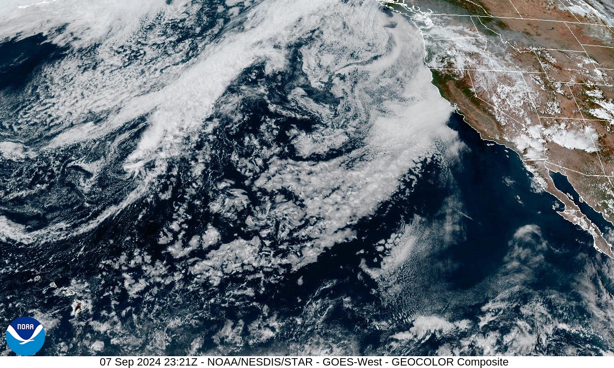


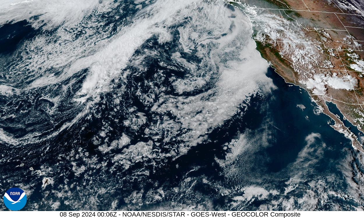
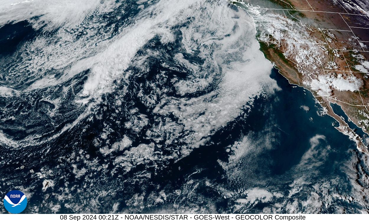
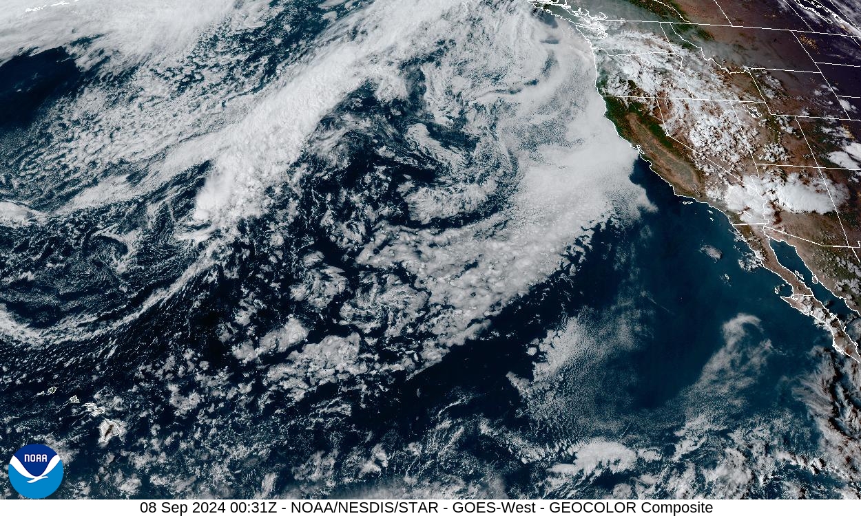


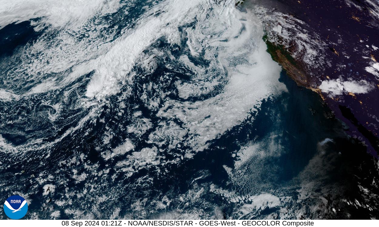

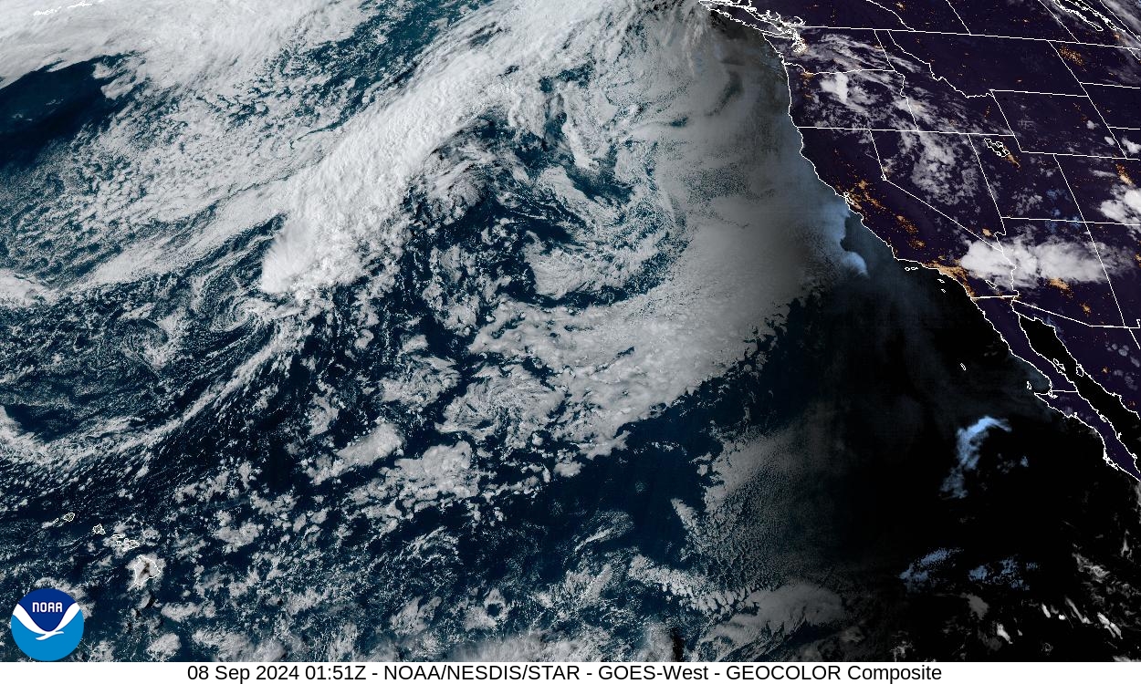

This time-lapse feature is a compiled sequence of individual images, automatically collected once every 15 minutes over the past 24 hour period.
GOES satellite imagery: NOAA / NESDIS / STAR
