


|
5/18/2024
5:52:32 PM |
||||||||||||||||||||||||||||||||||

|
||||||||||||||||||||||||||||||||||
| Mostly cloudy | ||||||||||||||||||||||||||||||||||
| 87.9°F | ||||||||||||||||||||||||||||||||||
| Warm | ||||||||||||||||||||||||||||||||||
| Feels like: 87°F | ||||||||||||||||||||||||||||||||||
|
||||||||||||||||||||||||||||||||||
|
||||||||||||||||||||||||||||||||||


Area Forecast Discussion
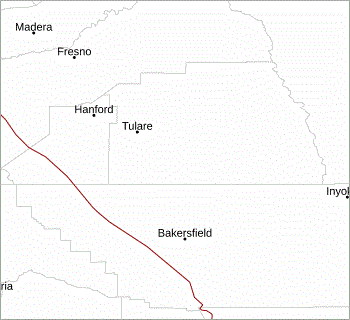
National Weather Service - San Joaquin Valley / Hanford, CA
Issued: Saturday, May 18 2024 - 12:51 PM PDT
KEY MESSAGES... 1. Temperatures will decrease through Monday with a warmup in the middle of the week before decreasing again into next weekend.
2. There is a chance for strong thunderstorms across the Sierra Nevada this afternoon and evening.
3. Gusty westerly winds will develop across the Kern County mountains and desert each afternoon and evening with the strongest gusts expected on Sunday and Monday. A Wind Advisory has been issued from 5 PM Sunday evening through 8 AM Monday morning.
DISCUSSION... High temperatures have been above average the past few days. However, we are in the midst of a cooling trend as latest model ensembles are strongly agreeing that a trough will slide down into the Great Basin Sunday into Monday. This trough will bring temperatures to about average by Monday. The northwesterly flow and sinking air affiliated with the front of this trough will also increase winds on Sunday afternoon through Monday morning resulting in a Wind Advisory having been issued for the Mojave Desert slopes.
Model ensembles show a weak ridge moving in on Tuesday and Wednesday bringing temperatures back up along with the probabilities of 90s for Wednesday. There is a 40 to 65 percent probability of high temperatures of at least 90 degrees on Wednesday for the San Joaquin Valley. However, ensembles are also strongly in agreement that another stronger trough will slide in to the Great Basin on Thursday and Friday which will lead temperatures to drop back to average and even below average by next weekend. Winds will be an issue for this trough in the Kern County Desert and Slopes due to the strong northwesterly flow from this trough and the sinking air that will be part of the trough's cold front.
AVIATION... Areas of MVFR to IFR conditions in thunderstorms over the Sierra Nevada through 06z Sunday, otherwise, VFR conditions will prevail for the next 24 hours.
AIR QUALITY ISSUES...
None.
CERTAINTY...
The level of certainty for days 1 and 2 is high. The level of certainty for days 3 through 7 is medium.
Certainty levels include low...medium...and high. Please visit www.weather.gov/hnx/certainty.html for additional information and/or to provide feedback.
HNX WATCHES/WARNINGS/ADVISORIES... Wind Advisory from 5 PM Sunday to 8 AM PDT Monday for CAZ338.
