


|
4/27/2024
9:02:32 AM |
||||||||||||||||||||||||||||||||||

|
||||||||||||||||||||||||||||||||||
| Sunny | ||||||||||||||||||||||||||||||||||
| 60.7°F | ||||||||||||||||||||||||||||||||||
| Cool | ||||||||||||||||||||||||||||||||||
| Feels like: 61°F | ||||||||||||||||||||||||||||||||||
|
||||||||||||||||||||||||||||||||||
|
||||||||||||||||||||||||||||||||||


Current Conditions

Click to view local area alerts issued by the National Weather Service.NWS Alerts |
Click to view the local forecast summary from WeatherForYou.Forecast |
|||||||
Click to view local area alerts issued by the National Weather Service. 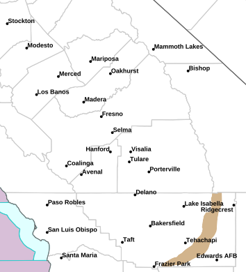 |
Click to view the local forecast summary from WeatherForYou.
|


Click to view local radar imagery.Radar |
Click to view GOES-West satellite imagery.Satellite |
Click to view local radar imagery.  |
Click to view GOES-West satellite imagery. 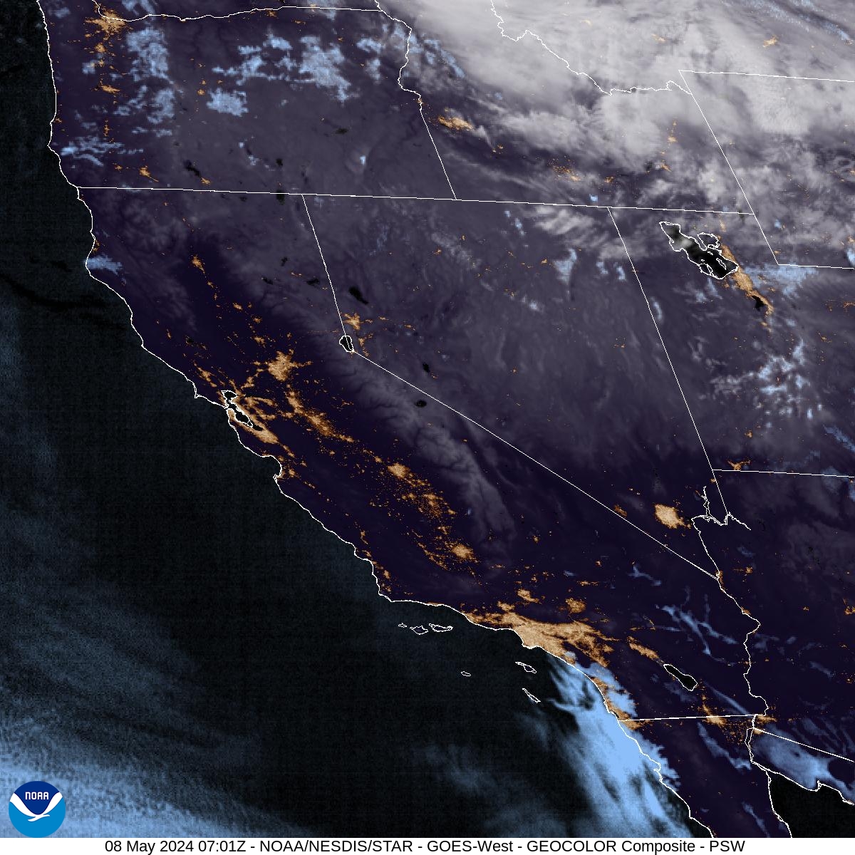 |
Click to view imagery from the Park webcam.Park Cam |
Click to view imagery from the Balcony webcam.Balcony Cam |
Click to view imagery from the Park webcam.  |
Click to view imagery from the Balcony webcam.  |
Click to view imagery from the Sierra webcam.Sierra Cam |
|
Click to view imagery from the Sierra webcam.  |
|
Nearby Airport Stations
|
|
||||||||||||||||||||||||||||||||||||||||||


METAR reports script courtesy of Saratoga Weather.
